
 | ||
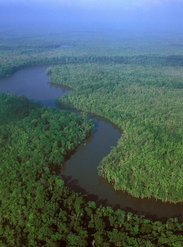
Sabine Lake is a 90,000-acre (36,000 ha) salt water estuary on the Texas-Louisiana border. The lake, some 14 miles (23 km) long and 7 miles (11 km) wide, is formed by the confluence of the Neches and Sabine rivers. Through its tidal outlet 5 miles (8 km) long, Sabine Pass, Sabine Lake drains some 50,000 square miles (100,000 km2) of Texas and Louisiana into the Gulf of Mexico. The lake borders Jefferson County, Texas, Orange County, Texas, Cameron Parish, Louisiana, and the city of Port Arthur, Texas .
Map of Sabine Lake, United States
References
Sabine Lake Wikipedia(Text) CC BY-SA