
Climate Aw Local time Monday 7:56 AM | Established 2000 Area 101.6 km² Population 26,552 (2012) | |
 | ||
Weather 23°C, Wind N at 0 km/h, 73% Humidity | ||
Sabana Yegua is a municipality (municipio) of the Azua province in the Dominican Republic.
Contents
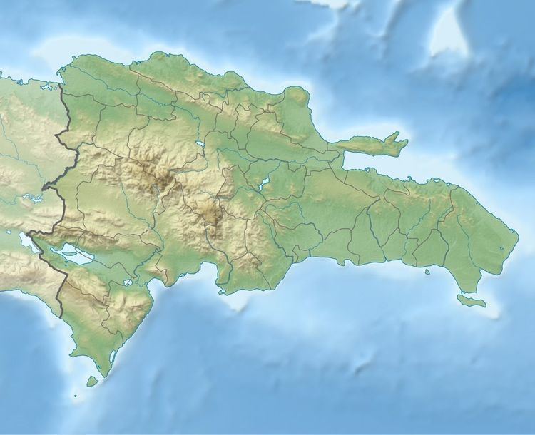
Map of Sabana Yegua 71000, Dominican Republic
Geography
It located currently in the kilometer 11 of the highway Azua-San Juan, old was located more to the south, next to San Juan de la Maguana, after crossing Villarpando, entering for the crossing of El Corozo.
It was transferred to the current location, due to the construction of the Dam of Sabana Yegua, on the riverbed Yaque del Sur, when completed its filled earlier than expected, due to the step of the hurricane David October 31, 1979, causing the massive eviction and by force of its inhabitants, which did not avoid the death of many people.
Its hydroelectric power station generates an important quantity of the energy electrica of the country. The irrigation ditch by-product of Sabana also contributes a volume of 8 m³ of water, what has changed the economy of Azua, and where they have been established several important agroindustrias.
Economy
Sabana Yegua was and continues being of the districts but prosperous of the province Azua, and the largest one of the human settlements created by the Dominican government. Its economy is based on the present time in the cultivation of plantains, bananas, tomato aji, eggplant, cilantro, onion and others.