
 | ||
Islands | ||
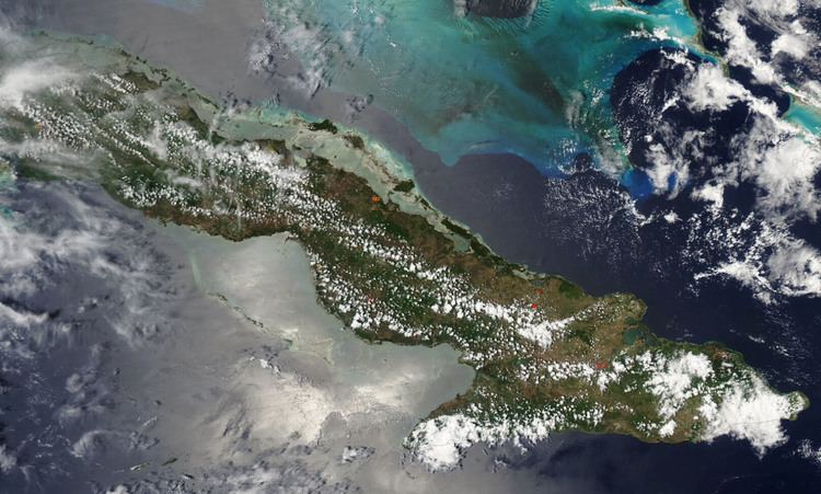
Sabana-Camagüey (Spanish: Archipiélago de Sabana-Camagüey ) is an archipelago that lines Cuba's north-central Atlantic coast. It is located off the northern coast of the provinces of Matanzas, Villa Clara, Sancti Spíritus, Ciego de Ávila and Camagüey, and is bounded to the north by the Atlantic Ocean, specifically by the Nicholas Channel (Sabana segment) and Old Bahama Channel (Camagüey segment).
Contents
Map of Sabana-Camag%C3%BCey Archipelago, Cuba
The archipelago is developed on a general north-east to south-west direction, and stretches for 475 km (295 mi) from the Hicacos Peninsula and Varadero to the Bay of Nuevitas. The entire system covers more than 75,000 km2 (29,000 sq mi) and is composed of approximately 2,517 cays and isles. The western islands are grouped in the Jardines del Rey archipelago, and contains Cayo Coco, Cayo Guillermo and Cayo Romano among others.
ConservationEdit
The coastal and marine ecosystem represented by the archipelago is undergoing conservation projects supported by the Global Environment Facility and Environment Canada. Mangroves and coastal forests effectively create a buffer zone between the agricultural coast and the sensitive marine environment. The Sabana-Camagüey ecosystem encompasses the Bay of Buena Vista Biosphere Reserve, the Caguanes National Park, as well as wetlands of northern Ciego de Ávila Province. A total of 35 protected sites are located here.