
District Trier-Saarburg Elevation 159 m (522 ft) Area 20.36 km² Local time Monday 12:42 PM Dialling code 06581 | Municipal assoc. Saarburg Time zone CET/CEST (UTC+1/+2) Population 6,293 (31 Dec 2008) Postal code 54439 | |
 | ||
Weather 13°C, Wind E at 14 km/h, 34% Humidity | ||
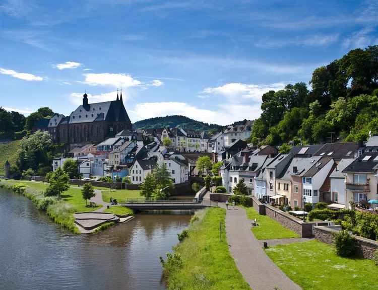
Saarburg (pop. ~6,700) is a city of the Trier-Saarburg district in the Rhineland-Palatinate state of Germany, on the banks of the Saar River in the hilly country a few kilometers upstream from the Saar's junction with the Moselle.
Contents
Map of 54439 Saarburg, Germany
Saarburg is the seat of the Verbandsgemeinde ("collective municipality") Saarburg. The area around Saarburg is noted for the cultivation of Riesling grapes.
History
The history of the city begins with the construction of the now-ruined castle by Graf Siegfried of Luxembourg in 964. It received its town charter in 1291. The city has a bell foundry, the Glockengießerei Mabilion, which has been in operation since the 1770s, and as of 2003 the only one in Germany that makes bronze bells.
In 1945 to 1948 Saarburg was occupied by troops from Luxembourg. From 18 July 1946 to 6 June 1947 Onsdorf, in its then municipal boundary, formed part of the Saar Protectorate. French troops complemented the occupation until 1955.
Twin towns — Sister cities
Saarburg is twinned with: