
Elevation 23 m | Population 108,265 (2006) Area 103.44 km2 | |
 | ||
Map of Saanich, British Columbia
The District of Saanich ( ) is a district municipality on Vancouver Island in British Columbia, within the Greater Victoria area. The population was 114,148 at the 2016 census, making it the most populous municipality in the Capital Regional District and Vancouver Island, and the eighth-most populous in the province. The district adopted its name after the Saanich First Nation, meaning "emerging land" or "emerging people". The District acts as a bedroom community immediately to the north of Victoria, British Columbia.
Contents
- Map of Saanich British Columbia
- Saanich ranks top on list of b c cities
- Natural contemporary design in north saanich british columbia canada
- History
- Geography and climate
- Neighbourhoods
- Education
- Demographics
- References

With an area of 103.44 square kilometres (39.94 sq mi), it is the largest municipality in Greater Victoria. The municipality contains a wide variety of rural and urban landscapes and neighbourhoods stretching north to the Saanich Peninsula. Saanich is home to part of the University of Victoria which is bisected by the neighbouring district municipality of Oak Bay. The municipality's topography is undulating with many glacially scoured rock outcroppings. Elevations range from sea level to 229 metres (751 ft). The physical setting is greatly influenced by water. There are 8.1749 square kilometres (3.1563 sq mi) of fresh water lakes and 29.61 kilometres (18.40 mi) of marine shoreline.
Saanich ranks top on list of b c cities
Natural contemporary design in north saanich british columbia canada
History
Saanich has been the home to First Nations people for thousands of years. The non-native history begins with the arrival of the Hudson's Bay Company in the 1840s.
The Craigflower Schoolhouse (originally called Maple Point School), the oldest surviving school building in Western Canada, was built on orders from Kenneth MacKenzie. He came from Scotland with his family in 1852, on the Hudson's Bay Company ship Norman Morison, to establish a farm for the Puget Sound Agricultural Company, a subsidiary of the Hudson's Bay Company. A school was needed for the children of farm employees, as well as those of arriving settlers.
The Municipality of Saanich was incorporated on March 1, 1906. The Dominion Astrophysical Observatory telescope was designed by Dr John Stanley Plaskett, astronomer with the Department of the Interior in Ottawa. The 72 inch (1.8 m) reflecting telescope was the largest of its kind in the world when it was built, though this was only the case for a few short months in 1918.
Geography and climate
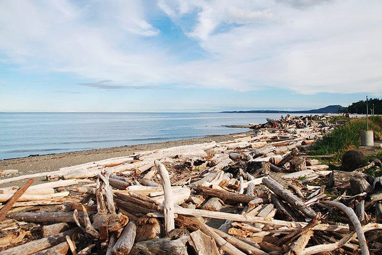
The District of Saanich contains a long shoreline with sandy beaches located at a number of ocean bays. Two of the beaches are Cadboro Bay Beach and Cordova Bay Beach. Cadboro Bay is known as the home of the "Cadborosaurus", a mythical cryptid. Saanich's notable parks include Mount Douglas Park, Mount Tolmie Park (with viewpoints), and Gyro Park.
Neighbourhoods
Saanich is divided into twelve Local Areas for planning purposes. In addition, there are a number of community associations in the municipality that represent neighbourhoods largely overlapping with the Local Areas. The Local Areas, and representative community associations, are listed below:
Education
The northeastern half of British Columbia's third largest university, the University of Victoria campus, is in Saanich, while the southwestern portion is in neighbouring Oak Bay. Saanich is also home to both major campuses of Camosun College, the original Lansdowne campus, and the Interurban campus.
Saanich is divided between two bordering school districts, School District 61 Greater Victoria and School District 63 Saanich. It is also the home of South Island Distance Education School.
Demographics
As of 2016, the District of Saanich has a population of 114,148. This corresponds to a 4.0% increase since 2011. The total number of occupied dwellings is 46,652 with an average of 2.4 persons per household. With a land area of 103.78 km2 (40.07 sq mi), Saanich possesses a population density of 1,099.9 per square kilometre.