
Car plates ZSL | Area 1,044 km² | |
 | ||
Gminas Total 6 (incl. 2 urban)DarłowoSławnoGmina DarłowoGmina MalechowoGmina PostominoGmina Sławno Points of interest Darłowo Lighthouse, Castle of the Pomerani, Bursztyn – Bernstein Kur‑ & W, Balticlandia Family Park, Muzeum Bursztynu w Jarosła | ||
Sławno County (Polish: powiat sławieński) is a unit of territorial administration and local government (powiat) in West Pomeranian Voivodeship, north-western Poland, on the Baltic coast. It came into being on January 1, 1999, as a result of the Polish local government reforms passed in 1998. Its administrative seat is the town of Sławno, which lies 174 kilometres (108 mi) north-east of the regional capital Szczecin. The only other town in the county is Darłowo, lying on the coast 19 km (12 mi) west of Sławno.
Contents
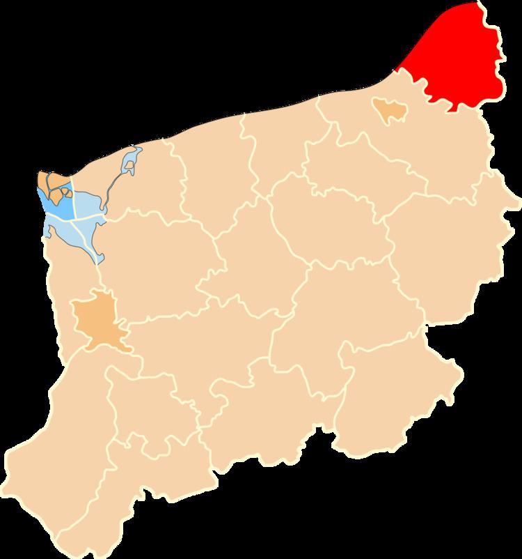
Map of S%C5%82awno County, Poland
The county covers an area of 1,043.62 square kilometres (402.9 sq mi). As of 2006 its total population is 57,643, out of which the population of Darłowo is 14,380, that of Sławno is 13,314, and the rural population is 29,949.
Neighbouring counties
Sławno County is bordered by Słupsk County to the east and Koszalin County to the south-west. It also borders the Baltic Sea to the north-west.
Administrative division
The county is subdivided into six gminas (two urban and four rural). These are listed in the following table, in descending order of population.