
Elevation 350 m (1,150 ft) Area 58.9 km² Local time Tuesday 1:57 PM Dialling code 05608 | District Kassel Time zone CET/CEST (UTC+1/+2) Population 5,004 (30 Jun 2009) Postal code 34320 Administrative region Kassel | |
 | ||
Weather 11°C, Wind NE at 8 km/h, 52% Humidity | ||
Söhrewald is a municipality in the district of Kassel, in Hesse, Germany. It is located 13 kilometers southeast of Kassel. The municipality was formed by the former independent municipalities Eiterhagen, Wattenbach and Wellerode in 1970.
Contents
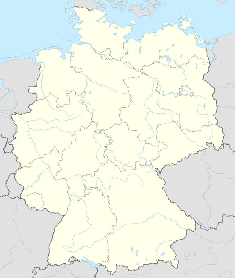
Map of S%C3%B6hrewald, Germany
Geography
Söhrewald borders in the north to the municipality Lohfelden, in the northeast to the municipality Kaufungen and Helsa all three in the district of Kassel), in the east to the city of Hessisch Lichtenau (Werra-Meißner-Kreis), in the south with the city of Melsungen, in the southeast to the municipality Körle and in the west to the municipality Guxhagen (all the three in the district of Schwalm-Eder)
References
Söhrewald Wikipedia(Text) CC BY-SA