
Elevation 188 m (617 ft) Area 17.51 km² Local time Sunday 9:22 PM Dialling code 05665 | District Schwalm-Eder-Kreis Time zone CET/CEST (UTC+1/+2) Population 2,912 (30 Jun 2009) Postal code 34327 Administrative region Kassel | |
 | ||
Weather 11°C, Wind SW at 26 km/h, 67% Humidity | ||
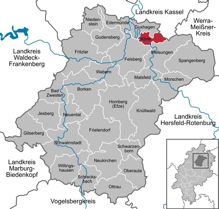
Körle is a community in the Schwalm-Eder district in Hesse, Germany. It lies about 20 km south of Kassel near the turn-off for Guxhagen on Autobahn A 7.
Contents
Map of K%C3%B6rle, Germany
History
Körle was first mentioned in 1074 in a donation document from the Fulda monastery.
The community, as it is now, came into being as part of Hesse's municipal reforms, when the communities of Empfershausen, Lobenhausen and Wagenfurth were amalgamated with Körle on 1 February 1971.
Partnership
The community of Körle has maintained since 1991 a partnership with Floh-Seligenthal in Thuringia.
References
Körle Wikipedia(Text) CC BY-SA