
Municipality Ørsta Municipality Area 74 ha | Elevation 20 m (70 ft) Population 384 (2012) | |
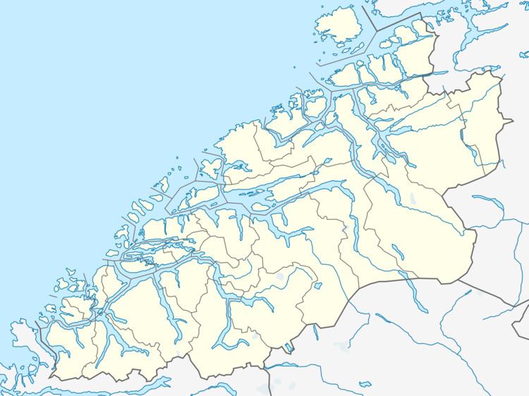 | ||
Sætre (also called Vartdal) is a village along the shore of the Vartdalsfjorden in Ørsta Municipality in Møre og Romsdal county, Norway. It is located in the Årset valley in the Vartdal district of Ørsta. The village sits along the European route E39 highway about 3.5 kilometres (2.2 mi) northeast of the village of Flåskjer and about 4 kilometres (2.5 mi) southwest of the village of Nordre Vartdal. The mountain Saudehornet is located about 7 kilometres (4.3 mi) south of the village.
Map of 6170 S%C3%A6tre, Norway
The 0.74-square-kilometre (180-acre) village has a population (2012) of 384 people, giving the village a population density of 519 inhabitants per square kilometre (1,340/sq mi). This village was the administrative centre of the former municipality of Vartdal from 1895–1964.