
Topo map 1119 II Volda Prominence 825 m Parent range Sunnmørsalpane | Elevation 1,303 m Mountain range Sunnmørsalpane | |
 | ||
Similar Vassdalstinden, Kolåstinden, Skårasalen, Liadalsnipa, Slogen | ||
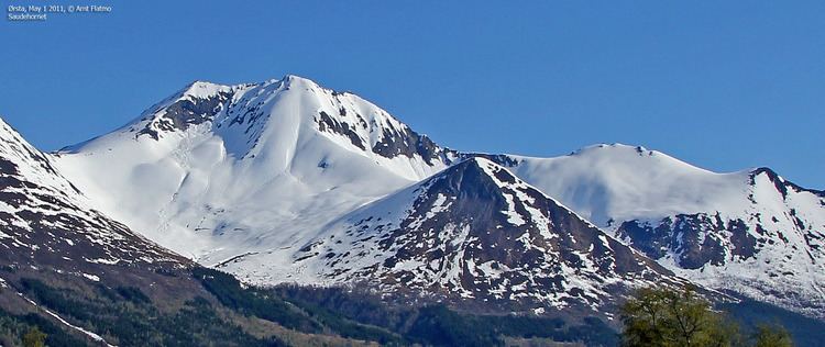
Saudehornet is a mountain that is located 3 kilometres (1.9 mi) north of the village of Ørsta in the municipality of Ørsta in Møre og Romsdal county, Norway. The 1,303-metre (4,275 ft) is a very popular, though steep, destination for skiing in the Sunnmørsalpene range. It is located just north of the E39 highway, about 5 kilometres (3.1 mi) north of the Ørsta-Volda Airport, Hovden, and about 7 kilometres (4.3 mi) south of the village of Vartdal.
Map of Saudehornet, 6150 %C3%98rsta, Norway
References
Saudehornet Wikipedia(Text) CC BY-SA