
Local time Tuesday 3:33 AM | ||
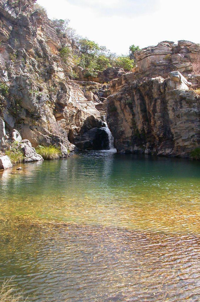 | ||
Weather 18°C, Wind E at 10 km/h, 78% Humidity Points of interest Paraíso Perdido, Cachoeira da Filó, Cachoeira Paraíso Perdido, Cachoeira do Quilombo, Pedreira Lagoa Azul | ||
São João Batista do Glória is a Brazilian municipality located in the southwest of the state of Minas Gerais. Its population as of 2007 was 6,828 people living in a total area of 553 km². The city belongs to the meso-region of Sul e Sudoeste de Minas and to the micro-region of Passos. It became a municipality in 1948.
Contents
- Map of SC3A3o JoC3A3o Batista do GlC3B3ria State of Minas Gerais Brazil
- Location
- Economic Activities
- Health and Education
- References
Map of S%C3%A3o Jo%C3%A3o Batista do Gl%C3%B3ria - State of Minas Gerais, Brazil
Location
The city center of São João Batista do Glória is located at an elevation of 695 meters in the valley of the Rio Grande, a short distance northeast of regional center, Passos. Neighboring municipalities are: Vargem Bonita (77 km north), Capitólio (65 km east), São José da Barra (40 km southeast), Alpinópolis (33 km south), Passos (14 km south and southwest), Delfinópolis (70 km west). The terrain is hilly and there are many waterfalls in the streams. In the higher elevations there are still armadillos, guará wolves, rheas, and toucans.
Distances
Economic Activities
Services, industries, and agriculture are the main economic activities. There are brickworks and factories producing spirits. The GDP in 2005 was approximately R$449 million, with 82 million reais from taxes, 37 million reais from services, 301 million reais from industry, and 32 million reais from agriculture. The biggest employer was public administration with 410 workers in 2005. In the rural area there were 236 producers on 26,000 hectares of land. Approximately 600 persons were occupied in agriculture. The main crops are coffee, beans, and corn. There were 25,000 head of cattle, of which 9,000 were milk cows (2006).
There were no banks (2007). In the vehicle fleet there were 787 automobiles, 69 trucks, 66 pickup trucks, 10 buses, and 663 motorcycles (2007).
Health and Education
In the health sector there were 5 health clinics and 1 hospital with 25 beds (2005). Educational needs of 1,550 students were attended to by 3 primary schools, 1 middle school, and 1 pre-primary school.
In 2000 the per capita monthly income of R$240.00 was below the state average of R$276.00 and below the national average of R$297.00. Poços de Caldas had the highest per capita monthly income in 2000 with R$435.00. The lowest was Setubinha with R$73.00.
The highest ranking municipality in Minas Gerais in 2000 was Poços de Caldas with 0.841, while the lowest was Setubinha with 0.568. Nationally the highest was São Caetano do Sul in São Paulo with 0.919, while the lowest was Setubinha. In more recent statistics (considering 5,507 municipalities) Manari in the state of Pernambuco has the lowest rating in the country—0,467—putting it in last place.