
Population 335 (Parish-2011) Area 3.9 km² Dialling code 01797 | OS grid reference TQ900225 Sovereign state United Kingdom Local time Saturday 1:43 PM District Rother | |
 | ||
Weather 13°C, Wind NE at 35 km/h, 50% Humidity | ||
Rye Foreign is a village and civil parish in the Rother District of East Sussex, England. It is located three miles (4.8 km) north-west of Rye. The name of the parish came about in 1247, when King Henry III, resumed control of Rye and Winchelsea from the Abbey of Fecamp, but left part of the area still under the Abbey: hence Rye Foreign. There is no parish church, although the building still stands in secular use.
Contents
Map of Rye Foreign, UK
Apart from the scattered village of Rye Foreign, the parish also includes Bowler's Town and Springfield.
The parish was formed in 1894 from the part of the ancient parish of Rye outside the borough of Rye. From 1894 to 1934 it was part of the rural district of Hastings. From 1934 to 1974 it was in the Battle Rural District.
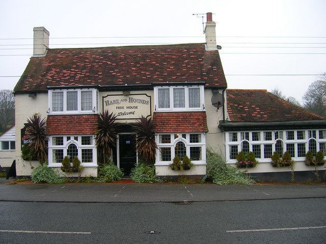
The local inns are the Royal Oak and the Hare and Hounds.
Landmarks
The Site of Special Scientific Interest Leasam Heronry Wood is to be found within the parish. The site is a nationally important heronry with around fifty pairs breeding here.