
Administrative center selo of Irbeyskoye Rural localities 49 Founded 4 April 1924 | selsoviet 18 Area 10,921 km² | |
 | ||
Municipally incorporated as | ||
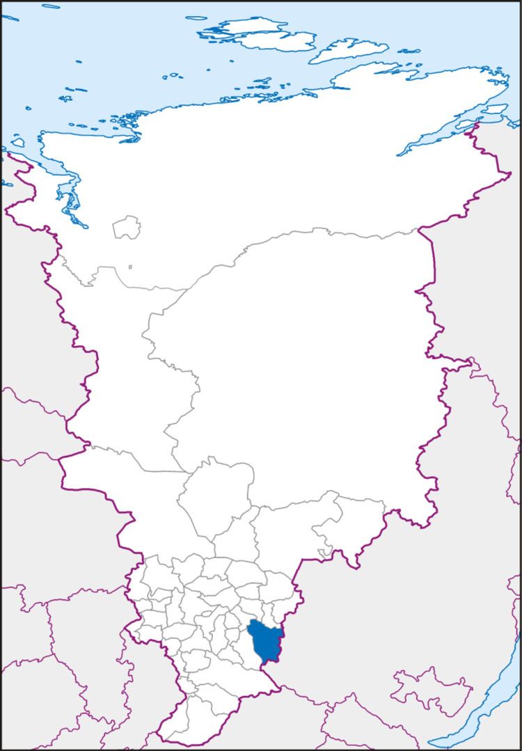
Irbeysky District (Russian: Ирбе́йский райо́н) is an administrative and municipal district (raion), one of the forty-three in Krasnoyarsk Krai, Russia. It is located in the southwest of the krai and borders with Kansky and Ilansky Districts in the north, Irkutsk Oblast in the east and south, Rybinsky District in the southwest, and with Sayansky District in the west. The area of the district is 10,921 square kilometers (4,217 sq mi). Its administrative center is the rural locality (a selo) of Irbeyskoye. Population: 16,784 (2010 Census); 19,181 (2002 Census); 21,572 (1989 Census). The population of Irbeyskoye accounts for 27.9% of the district's total population.
Contents
Map of Irbeysky District, Krasnoyarsk Krai, Russia
History
The district was founded on April 4, 1924.
References
Irbeysky District Wikipedia(Text) CC BY-SA