
Postcode(s) 2658 Elevation 149 m Local time Saturday 11:28 PM | Postal code 2658 | |
 | ||
Location 19 km (12 mi) from Henty30 km (19 mi) from Walbundrie Weather 18°C, Wind E at 8 km/h, 79% Humidity | ||
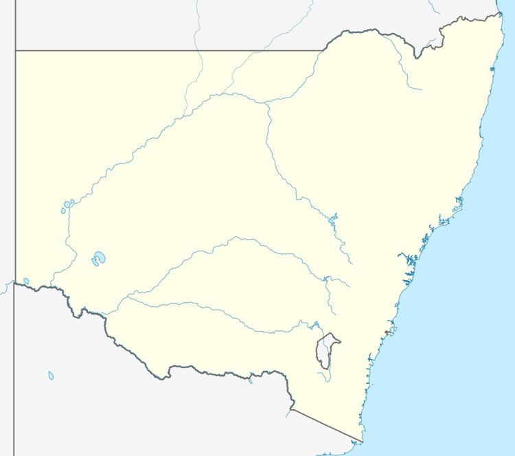
Ryan is a village community in the central south part of the Riverina. It is situated by road, about 19 kilometres south west from Henty and 30 kilometres north east from Walbundrie.
Map of Ryan NSW 2658, Australia
The town was serviced by the Rand branch railway line before the line was closed in 1975.
References
Ryan, New South Wales Wikipedia(Text) CC BY-SA