
Elevation 1,180 m | ||
 | ||
Region Western Region of Uganda | ||
Rwekunye is a settlement in Kiryandongo District in the Western Region of Uganda.
Contents
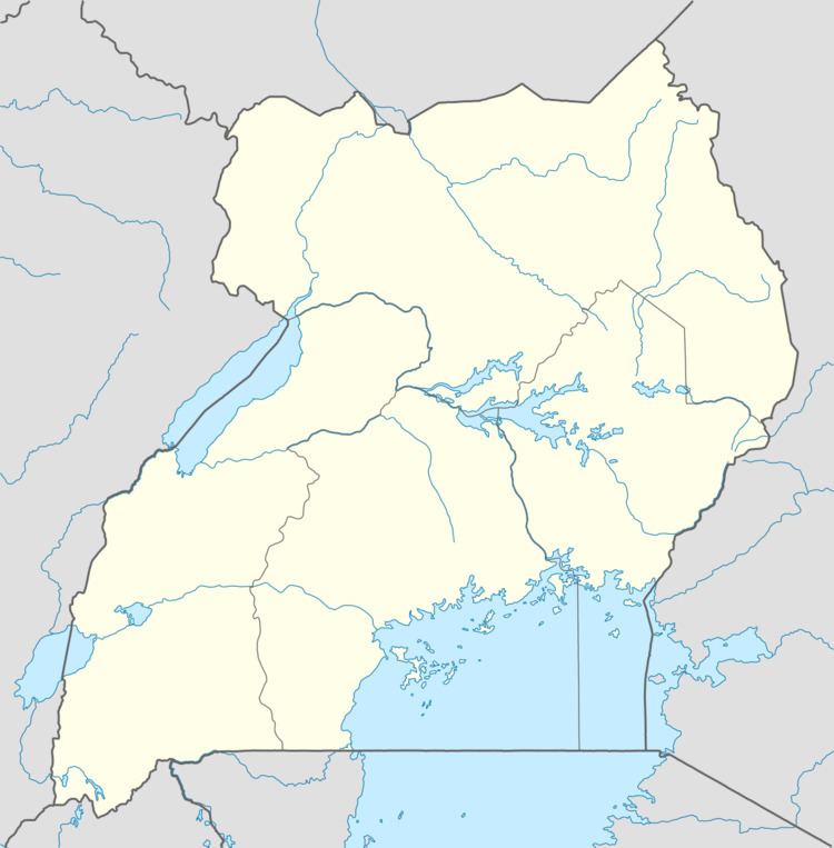
Map of Rwekunye, Uganda
Location
Rwekunye is 192 kilometres (119 mi) northwest of Kampala on the Kampala-Gulu highway. It is located immediately west of the larger area of Masindi Port, along the Rwekunye–Apac–Aduku–Lira–Kitgum–Musingo Road. The coordinates of Rwekunye are 1°42'39.0"N, 32°01'44.0"E (Latitude:1.710833; Longitude:32.028889).
Overview
Rwekunye is functionally a suburb of the larger urban area of Masindi Port (estimated 2009 population 10,400), located 5 kilometres (3 mi) to the east on the banks of the Victoria Nile.
Points of interest
The town has additional points of interest, including the following:
References
Rwekunye Wikipedia(Text) CC BY-SA