
Country United States GNIS feature ID 0453818 Area 91.66 km² Population 760 (2010) | ZIP codes 47527, 47553 Elevation 170 m Local time Saturday 5:31 AM | |
 | ||
Weather 17°C, Wind SE at 14 km/h, 66% Humidity | ||
Rutherford Township is one of six townships in Martin County, Indiana, United States. As of the 2010 census, its population was 760 and it contained 309 housing units.
Contents
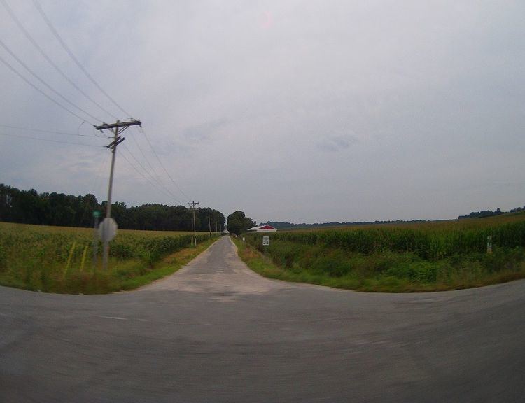
- Map of Rutherford Township IN 47553 USA
- Geography
- Unincorporated towns
- Cemeteries
- Major highways
- School districts
- Political districts
- References
Map of Rutherford Township, IN 47553, USA
Geography
According to the 2010 census, the township has a total area of 35.39 square miles (91.7 km2), of which 34.81 square miles (90.2 km2) (or 98.36%) is land and 0.58 square miles (1.5 km2) (or 1.64%) is water.
Unincorporated towns
Cemeteries
The township contains Holtsglaw Cemetery.
Major highways
School districts
Political districts
References
Rutherford Township, Martin County, Indiana Wikipedia(Text) CC BY-SA