Local time Saturday 5:08 PM | Population 2,045 (2008) | |
 | ||
Time zone Japan Standard Time (UTC+9) City hall address 175 Rusutsu, Rusutsu, Abuta-gun, Hokkaido048-1731 Weather -2°C, Wind W at 14 km/h, 67% Humidity Points of interest Rusutsu Resort, ルスツリゾートスキー場 (Rusut, Rusutsu Ski Resort ル, Rusutsufurusato Park | ||
Rusutsu (留寿都村, Rusutsu-mura) is a village located in Abuta District, Shiribeshi Subprefecture, Hokkaido, Japan.
Contents
- Map of Rusutsu Abuta District Hokkaido Prefecture Japan
- Geography
- Neighboring municipalities
- History
- Sister city
- Industry
- Education
- Notable people from Rusutsu
- References
Map of Rusutsu, Abuta District, Hokkaido Prefecture, Japan
As of 2016, the village has an estimated population of 1,940. The total area is 119.92 km².
Geography
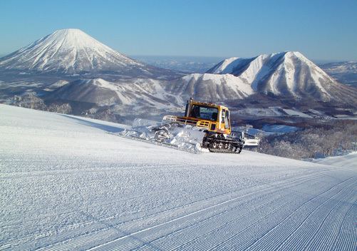
Rusutsu is located on the southern of Shiribeshi Subprefecture. Mount Shiritsu is in the northern of the town.
The name came from Ainu word "ru-sutu", meaning "Road at the foot of the mountain".
Neighboring municipalities
History
Sister city
Industry
Rusutsu is the top producer of Daikon in Hokkaido. It also produces potato and Asparagus.
Commercial facilities and companies of Rusutsu are along Route 230. There are Sightseeing spots such as Rusutsu Resort at a distance from the center of the village.
Education
Notable people from Rusutsu
References
Rusutsu, Hokkaido Wikipedia(Text) CC BY-SA
