
Country United States FIPS code 27-56302 Elevation 226 m Population 811 (2013) | Time zone Central (CST) (UTC-6) GNIS feature ID 0650418 Local time Friday 7:52 PM | |
 | ||
Weather 5°C, Wind NE at 14 km/h, 87% Humidity Area 87.13 km² (86.56 km² Land / 57 ha Water) | ||
Rushford Village is a city in Fillmore County, Minnesota, United States. The population was 807 at the 2010 census. It surrounds the city of Rushford, Minnesota.
Contents
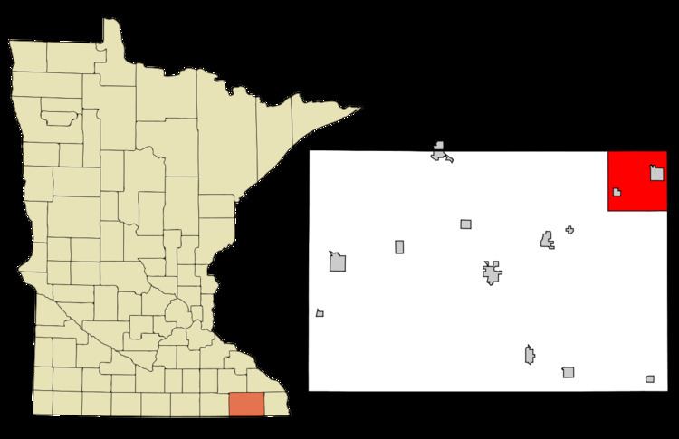
Map of Rushford Village, MN, USA
History
Rushford Village was once called Rushford Township. As a township, it was organized in 1858, and named after Rush Creek.
Geography
According to the United States Census Bureau, the city has a total area of 33.64 square miles (87.13 km2), of which 33.42 square miles (86.56 km2) is land and 0.22 square miles (0.57 km2) is water.
2010 census
As of the census of 2010, there were 807 people, 305 households, and 250 families residing in the city. The population density was 24.1 inhabitants per square mile (9.3/km2). There were 325 housing units at an average density of 9.7 per square mile (3.7/km2). The racial makeup of the city was 99.0% White, 0.1% African American, 0.1% Asian, and 0.7% from two or more races. Hispanic or Latino of any race were 0.6% of the population.
There were 305 households of which 33.1% had children under the age of 18 living with them, 73.1% were married couples living together, 4.3% had a female householder with no husband present, 4.6% had a male householder with no wife present, and 18.0% were non-families. 14.8% of all households were made up of individuals and 8.9% had someone living alone who was 65 years of age or older. The average household size was 2.65 and the average family size was 2.91.
The median age in the city was 43.5 years. 23.7% of residents were under the age of 18; 7.1% were between the ages of 18 and 24; 21.1% were from 25 to 44; 30.7% were from 45 to 64; and 17.3% were 65 years of age or older. The gender makeup of the city was 49.9% male and 50.1% female.
2000 census
As of the census of 2000, there were 714 people, 264 households, and 214 families residing in the city. The population density was 21.4 people per square mile (8.3/km²). There were 279 housing units at an average density of 8.4 per square mile (3.2/km²). The racial makeup of the city was 99.02% White, 0.28% African American, 0.28% Asian, and 0.42% from two or more races. Hispanic or Latino of any race were 0.14% of the population.
There were 264 households out of which 34.1% had children under the age of 18 living with them, 73.9% were married couples living together, 5.7% had a female householder with no husband present, and 18.6% were non-families. 15.9% of all households were made up of individuals and 7.6% had someone living alone who was 65 years of age or older. The average household size was 2.70 and the average family size was 3.00.
In the city, the population was spread out with 27.7% under the age of 18, 5.7% from 18 to 24, 26.5% from 25 to 44, 27.2% from 45 to 64, and 12.9% who were 65 years of age or older. The median age was 39 years. For every 100 females there were 97.8 males. For every 100 females age 18 and over, there were 102.4 males.
The median income for a household in the city was $43,125, and the median income for a family was $50,156. Males had a median income of $36,000 versus $20,673 for females. The per capita income for the city was $18,042. About 5.1% of families and 8.0% of the population were below the poverty line, including 12.7% of those under age 18 and 1.1% of those age 65 or over.