
Elevation 1,340 m | Time zone EAT (UTC+3) Local time Saturday 3:49 AM | |
 | ||
Weather 18°C, Wind S at 5 km/h, 86% Humidity | ||
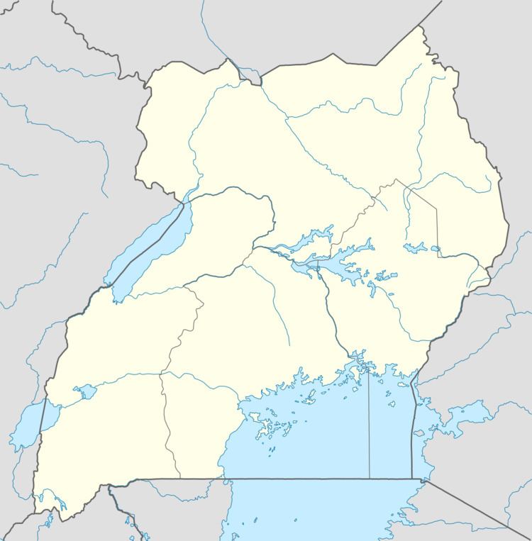
Rushere is a town in Kiruhura District in the Western Region of Uganda.
Contents
Map of Rushere, Uganda
Location
Rushere is approximately 22 kilometres (14 mi), by road, southeast of Kiruhura, where the district headquarters are located. This is approximately 82 kilometres (51 mi), by road, northeast of Mbarara, the largest town in the Ankole sub-region. The coordinates of Rushere are 0°12'41.0"S, 30°56'12.0"E (Latitude:-0.211385; Longitude:30.936655).
Points of interest
The following points of interest lie within the town limits or close to the edges of Rushere:
References
Rushere, Uganda Wikipedia(Text) CC BY-SA