
District Kanpur Dehat PIN 209303 Elevation 127 m Local time Saturday 3:26 AM | Time zone IST (UTC+5:30) Telephone code 915111 Population 15,206 (2009) Area code 915111 | |
 | ||
Weather 23°C, Wind NW at 3 km/h, 54% Humidity Neighborhoods Shivaji Nagar, Ward Number 3, Ram Nagar | ||
The calm village life in rural uttar pradesh
Rura is an adarsh town and a Nagar Panchayat in Kanpur Dehat District in Uttar Pradesh state of the India. The town is situated on the banks of Lower Ganga canal. It is a major town in the Kanpur Dehat . Bhatauli is adjacent to Rura city which is known as Bhatauli-Rura town.The nearby cities are Kanpur (44 km) towards the east and Etawah (96 km) towards the west. The district headquarters is nearly 15 km away at Akbarpur-Mati. It comes under Kanpur Metropolitan Area.
Contents
- The calm village life in rural uttar pradesh
- Map of Rura Uttar Pradesh 209303
- Institutions
- Notable personality
- Educational Institutions
- Sacred places
- Main festivals
- Transport
- Geography
- Demographics
- References
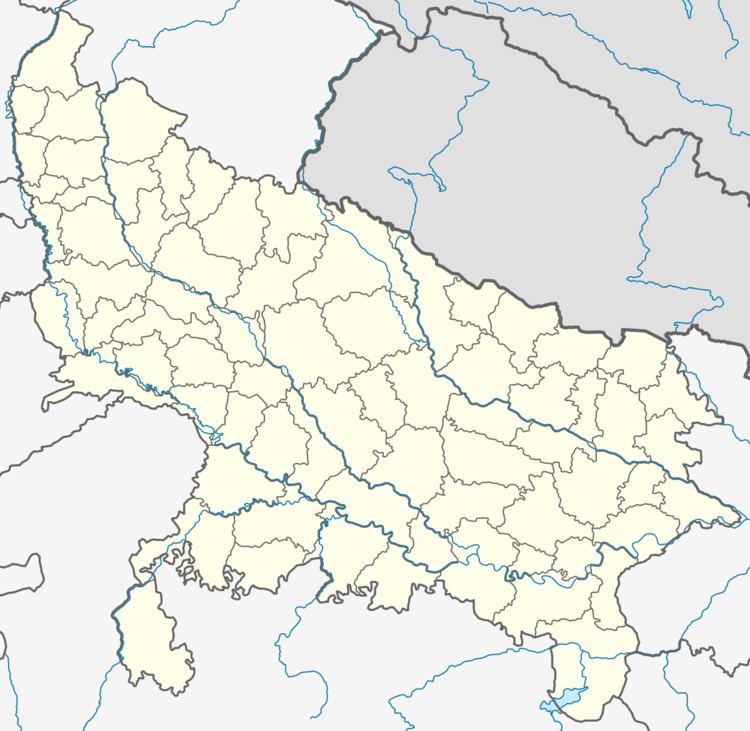
Map of Rura, Uttar Pradesh 209303
Institutions
- Railway Station (NCR)
- Bharat Sanchar Nigam Limited Exchange
- Post Office (209303)
- State Bank of India
- Punjab National Bank
- Bank Of Baroda
- Jila Sehkari Bank
- Baroda Gramin Bank
- Community Health Centers & Female Hospital
- Police Station
- Cooperative socictey
- Bijli Gar
Notable personality
Babu Ram Prasad Shukla was richest social worker of the town Rura, He founded Ram Prasad Sarvjanik Inter College in this town in 1947 and got recognition up to Intermediate classes at a time in four faculties ie. Arts,Science, Commerce and Agriculture in 1950. It was the only intermediate college in district Kanpur where Agriculture faculty was exist at that time and today too. Babu Ram Prasad Shukla donate all his property (property worth millions) to R.P.S.Inter college and Pandit Kalika Prasad Trust.
Educational Institutions
- Infant public school, ambarpur road, rura
- R P S Inter College- A most ancient government aided institution of Kanpur Dehat district.
- C.D.Girls Inter College -A most ancient government aided girls institution of Kanpur Dehat district.
- Pt.O.P.Sharma Degree College.
- Janka Devi Degree College
- Premavati P.N Degree College Jaganpur(nearest)
- SD International Public School, Mulahi, Rura Rashoolabad road, rura
Sacred places
- Waneshwar Mahadev Temple - A world famous temple (nearest)
- Parhul Devi Temple (Lamahra)
- Durga Temple (city heart)
- Patha Mai Temple
- Bala ji Temple (Dhanirampur)
- Shiv Bajrang Dham Kishunpur
- Bajrang Temple Tanki Talab
- Hardol ka Mandir-A rare temple:Injuwarampur(nearest)
Main festivals
All national festivals, Holi . Diwali, Mahashivratri, Shri Krishna Janmashtami, Ramnavami, Makara Sankranti, Eid-ul-Fitr, Rakshabandhan, Hanuman jayanti and other local ones such as Nag-Panchmi, Navratri, Durga Puja are celebrated with enthusiasm. A Glimpse of Bengal can be seen in the City of Rura .During the Durga puja celebrations several cultural events are organized and is celebrated on a large scale. Thousands of people daily visits the puja pandal to get the blessings of Goddess Durga. Savitri vrat and Navratri vrat are main festival of womens of city Rura ,At the time of savitri vrat women takes 101 round of banyan tree
Transport
Rura Railway Station is on the Delhi-Howrah rail route. It is a major station between Etawah and Kanpur central. It lies on the North Central railway zone. To the east, Roshan Mau Halt Station (8 km) is the nearest station. Going west, Ambiyapur (9 km) is the next station. Kanpur Central Railway Station is the nearest major railway station. Rura Bus Stand : Rura bus stand is situated at Akbarpur Road and Derapur Road meet point. People can get bus for Akbarpur, Raniyan, Fazalganj, Ramadevi and Galuwapur, Derapur Route. Bus is also available to Mangalpur via Derapur,Nonari & Dilval.
Another bus stand at canal bridge,From where people may get bus to Sheoli,Kalyanpur & Kanpur ,and other route to Billhaur via Jhinjhak,Rasulabad and another to Bilhaur via Banipara,Minda ka Kunwa. Besides passenger trains following are main trains: Main Express Trains
- Gomti Express (super fast).
- Agra-Lucknow Intercity Express (super fast).
- Rourkela/Tata Nagar Jammu Tawi Muri Express .
- Unchahar Express .
- Sangam Express (up) .
- Anand vihar-Kolkata Express.
- Toofan Express.
- Mahananda Express.
Geography
Rura is located at 26.48°N 79.9°E / 26.48; 79.9. It has an average elevation of 127 metres (416 feet).
Station details - Station name: Rura Station code: rura Town: RURA
Demographics
As of 2001 India census, Rura had a population of 35,206. Males constitute 53% of the population and females 47%. Rura has an average literacy rate of 70%, higher than the national average of 59.5%: male literacy is 75%, and female literacy is 65%. In Rura, 14% of the population is under 6 years of age.
Area map :https://maps.google.co.in/maps/place?ftid=0x399dc64aa45c2957:0x586ed38b0c42ba88&q=Rura,+Uttar+Pradesh&hl=en&ved=0CAwQ-gswAA&sa=X&ei=BdenUMiPKIm8iAf2n4CoAw