
Main source Geville240 m (790 ft) Basin size 385 km (149 sq mi) Basin area 385 km² | River mouth Moselle170 m (560 ft) Length 55 km | |
 | ||
Discharge Average rate:3.65 m/s (129 cu ft/s) | ||
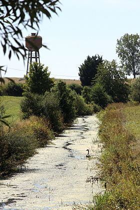
The Rupt de Mad (French: le Rupt de Mad) is a 54.6-kilometre (33.9 mi) long river in the Meuse and Meurthe-et-Moselle départements, northeastern France. Its source is several small streams which rise at Geville, 17 kilometres (11 mi) northwest of Toul. It flows generally northeast. It is a left tributary of the Moselle into which it flows at Arnaville, 15 kilometres (9 mi) southwest of Metz.
Contents
Map of Rupt de Mad, France
Départements and communes along its course
This list is ordered from source to mouth:
References
Rupt de Mad Wikipedia(Text) CC BY-SA