
PIN 786153 Elevation 116 m | Time zone IST (UTC+5:30) Vehicle registration AS -23 | |
 | ||
Rupai Siding is a fast developing township situated in the district of Tinsukia in Assam,(in North East) India. It was a small village about 50 years ago, which is now the Industrial Township having Tea Factories and Other Allied Industries. It is said that it had one of the oldest railway tracks until few years back which was used by the Britishers to transport goods and materials. This railway track connected Dibrugarh to Dangari and runs through Rupai and hence it is a siding and came to be known as RUPAI SIDING.
Contents
Map of Rupai Siding, Assam
Education
Educational institutes include Doom Dooma College, Rupai Junior College, Don Bosco High School, St. Xavier's School, Learner's School, Jawahar Hindi High School, Jawahar Navodaya Vidyalay, Karma Institute of Informatics & Career Development (KIICD) and St. Marys School. There are various other Kindergartens and primary schools setup near here. Education is most respected in this part of Assam and hence has also produced many stalwarts.
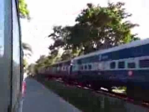
Connectivity
Rupai is well connected with railway line from Makum to Dangari. A survey of 122 km Rupai-Parshuram Kund broad gauge railway line was completed by northeast frontier railways at the initiative of Arunachal Chamber of Commerce and Industries. Other modes of communication are local buses, Autos, Rickshaws, Share trekers, share autos, long distance night supers. The nearest airport is Mohanbari airport near Dibrugarh which is around 60 km. Rupai Siding is on the trijunction of NH 37 and NH 52.