
Elevation 1,594 m | Parent range Dinaric Alps Prominence 1,500 m | |
 | ||
Similar Lovćen, Bobotov Kuk, Vrmac, Hajla, Ljubišnja | ||
Montenegro hike to mt rumija 17 8 2015
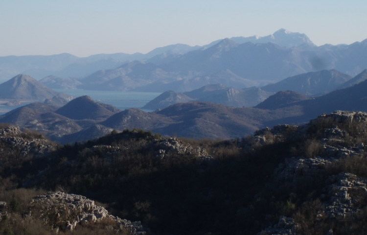
Rumija (Serbian Cyrillic: Румија) is a mountain in southern Montenegro, situated between the Adriatic and Lake Skadar. The highest point is Rumija, which is 1,594 m (5,230 ft) high. Rumija rises above the town of Bar, and is a natural Dinaric barrier, separating the Adriatic from the Skadar basin. It is the southernmost mountain of Montenegro, and with prominence of 1,500 m (4,921 ft), one of the most prominent.
Contents
Map of Rumija, Montenegro
The Rumija Mountain is a site of great religious significance. The Cross of Jovan Vladimir is carried every year on the Feast of Pentecost from the village of Velji Mikulići to the summit of Rumija. Traditionally, in addition to Orthodox Christians of the Bar area, Catholics and Muslims also take part in the procession and ascent to Rumija summit.
In 2005, Serbian Orthodox Church mounted a metal church building to the summit, by means of an Air Force of Serbia and Montenegro helicopter. This was a highly controversial issue, as building of the church was not approved by Montenegrin authorities. The use of the Air Force helicopter was perceived by some as a provocation in the wake of 2006 Montenegrin independence referendum.