
Elevation 2,403 m | Parent ranges Prokletije, Dinaric Alps | |
 | ||
Similar Mokra Gora, Đeravica, Žljeb, Koritnik, Guri i Kuq | ||
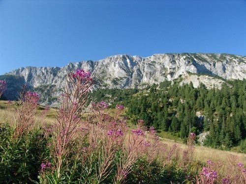
Hajla is a mountain located between Kosovo and Montenegro. It has several peaks that reach over 2,000 m (6,562 ft), the highest having 2,403 m (7,884 ft) which is also called Hajla. In its northern slopes, the river Ibar originates, and to its southern slopes is the origin of the Bistrica e Pejes river. Hajla is also the highest mountain in the northern part of the Bjeshket e Nemura. In Kosovo, Hajla forms part of the 25 km (16 mi) long Rugova Canyon. The nearest city to Hajla is Rožaje, in Montenegro.
Contents
Map of Hajla
Highest peaks
References
Hajla Wikipedia(Text) CC BY-SA