
Population 17,661 (2011) | Time zone IST (UTC+5:30) Vehicle registration WB Local time Friday 8:23 PM | |
 | ||
Weather 28°C, Wind S at 23 km/h, 68% Humidity | ||
Ruiya senaha sns footage
Ruiya is a census town in Barrackpore II CD Block in Barrackpore subdivision in North 24 Parganas district in the Indian state of West Bengal. Khardaha police station serves this town.
Contents
- Ruiya senaha sns footage
- Map of Ruiya Barrackpore West Bengal
- Barrackpore patulia via ruiya town towards kalyani expressway dash cam video 1080p 60fps
- Geography
- Demographics
- Healthcare
- References
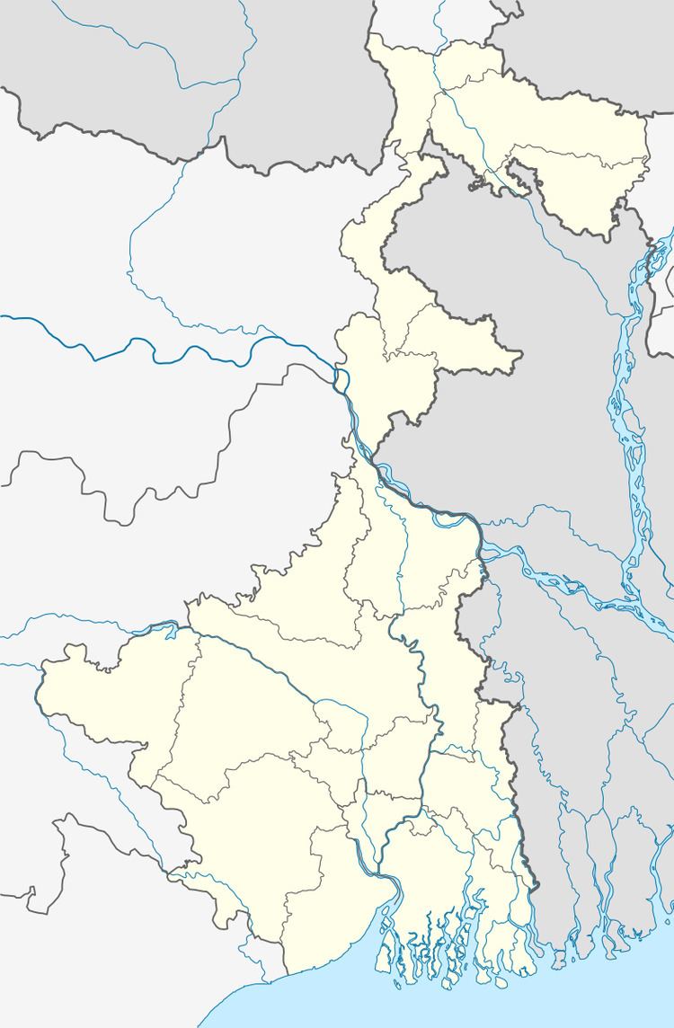
Map of Ruiya, Barrackpore, West Bengal
Barrackpore patulia via ruiya town towards kalyani expressway dash cam video 1080p 60fps
Geography
Ruyia is located at 22°44′30″N 88°23′59″E.
Demographics
As per 2011 Census of India Ruiya had a total population of 17,661, of which 9,149 (52%) were males and 8,512 (48%) were females. Population below 6 years was 1,963. The total number of literates in Ruiya was 12,010 (76.51% of the population over 6 years).
As of 2001 India census, Ruiya had a population of 10,703. Males constitute 52% of the population and females 48%. Ruiya has an average literacy rate of 65%, higher than the national average of 59.5%: male literacy is 71%, and female literacy is 58%. In Ruiya, 12% of the population is under 6 years of age.
Healthcare
North 24 Parganas district has been identified as one of the areas where ground water is affected by arsenic contamination.