
Population 320 (2011 census) Postal code 4515 | Postcode(s) 4515 Local time Friday 10:04 AM | |
 | ||
Weather 28°C, Wind E at 6 km/h, 69% Humidity | ||
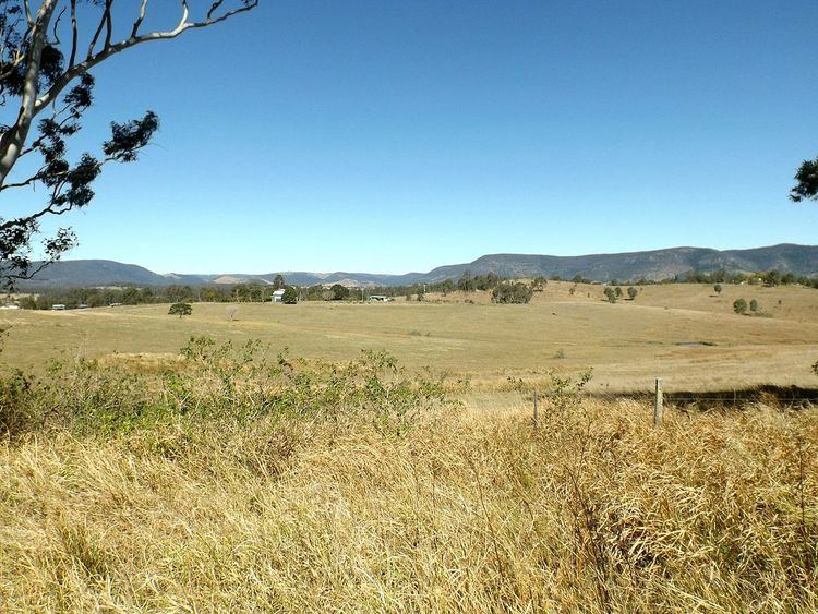
Royston is a locality in the Somerset Region, Queensland, Australia. The locality had a population of 320 at the 2011 Australian Census.
Map of Royston QLD 4515, Australia
The D'Aguilar Highway passes through the south of Royston where the Stanley River marks the southern boundary. In the north lies the southern foothills of the Conondale Range.
References
Royston, Queensland Wikipedia(Text) CC BY-SA