
Population 2,457 Sovereign state United Kingdom Area 5.54 km² | OS grid reference TM097803 Post town DISS | |
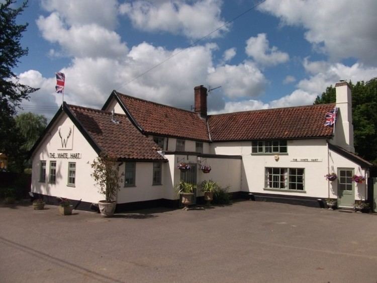 | ||
Roydon is a small village, parish and electoral ward in the county of Norfolk, England, about a mile west of Diss. It covers an area of 5.54 km2 (2.14 sq mi) and had a population of 2,358 in 981 households at the 2001 census, the population of both parish and ward increasing to 2,457 at the 2011 Census.
Map of Roydon, Diss, UK
It is mentioned in 1035 as Rygedune, and as Regadona and Regheduna in the Domesday Book, and later in 1242 as Reydon. In 1603 there were 124 communicants, and in 1736 there were 60 families, totalling 240 souls. In 1736 it was assessed for tax at 630 and a half pounds.
It also has a small village primary school, Roydon Primary that teaches 200 pupils from 4 to 11, Reception to Year 6 (Kindergarten to 5th Grade).
Its church, St Remigius, is one of 124 existing round-tower churches in Norfolk. The dedication day was kept on the first of October, being the day of his translation.