
 | ||
087 walking royal military canal path rye to hythe
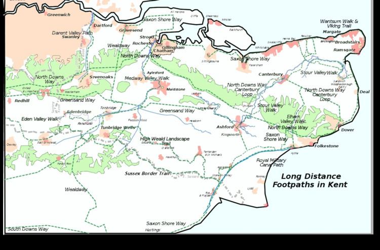
The Royal Military Canal Path is a long-distance path in England, mainly following the Royal Military Canal. Its end points are Seabrook, Kent (51.0720°N 1.1221°E / 51.0720; 1.1221 (Royal Military Canal Path, Seabrook terminus)), and Pett Level, East Sussex (50.8887°N 0.6840°E / 50.8887; 0.6840 (Royal Military Canal Path, Pett Level terminus)), and it runs for 27 miles (43 km). It is a canal-side path and fringes the northern edge of Romney Marsh. The canal is an early-19th-century defence against a possible invasion by Napoleon, and it is a Scheduled Ancient Monument and a SSSI. Links are made with the Saxon Shore Way at Appledore and West Hythe.
Contents
- 087 walking royal military canal path rye to hythe
- Royal military canal path seabrook to cliff end
- References
Royal military canal path seabrook to cliff end
References
Royal Military Canal Path Wikipedia(Text) CC BY-SA