
 | ||
Similar Alps, Golfe‑Juan, Cathédrale Notre Dame du, Jardin botanique de la Villa, Verdon Gorge | ||
Route napol on n 85 grenoble tot gap
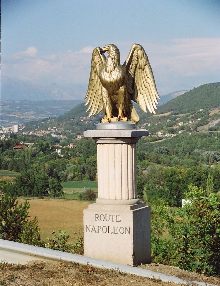
The Route Napoléon is the route taken by Napoléon in 1815 on his return from Elba. It is now concurrent with sections of routes N85, D1085, D4085, and D6085.
Contents
- Route napol on n 85 grenoble tot gap
- Map of Route NapolC3A9on 04000 Digne les Bains France
- La route napol on
- Route
- References
Map of Route Napol%C3%A9on, 04000 Digne-les-Bains, France
The route begins at Golfe-Juan, where Napoleon disembarked 1 March 1815, beginning the Hundred Days that ended at Waterloo. The road was inaugurated in 1932 and meanders from the French Riviera north-northwest along the foothills of the Alps. It is marked along the way by statues of the French Imperial Eagle.
La route napol on
Route
From south to north:
References
Route Napoléon Wikipedia(Text) CC BY-SA