
Topo map NTS 92G/14 Mountain type Outcrop Elevation 1,646 m Province British Columbia Mountain range Garibaldi Ranges | Age of rock Pleistocene Easiest route gravel road Prominence 225 m Last eruption Pleistocene Parent range Garibaldi Ranges | |
 | ||
Location British Columbia, Canada Similar Pyroclastic Peak, Vulcan's Thumb, Little Ring Mountain, Middle Finger, Mount Frederick William | ||
Round Mountain is an eroded volcanic outcrop in the Garibaldi Volcanic Belt in British Columbia, Canada, located 8 km southwest of Eanastick Meadows, 9 km (6 mi) east of Brackendale and 10 km (6 mi) south of Mount Garibaldi. It is the highpoint of Paul Ridge and is located in the southwest corner of Garibaldi Provincial Park. Round Mountain formed as a result of subduction of the Juan de Fuca Plate beneath the North American Plate, known as the Cascadia subduction zone. Round Mountain last erupted during the Pleistocene.
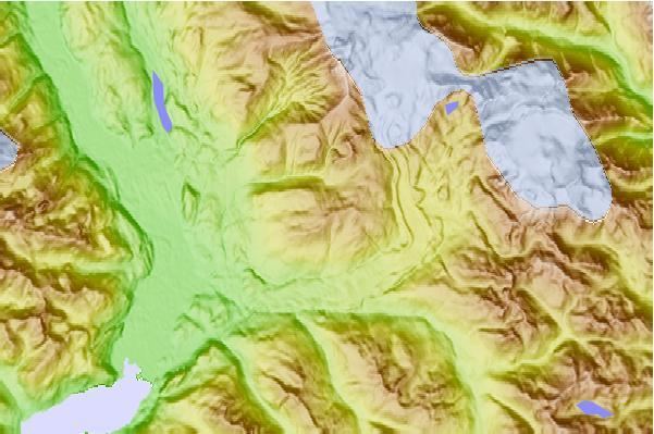
Map of Round Mountain, Squamish-Lillooet D, BC, Canada
References
Round Mountain (volcano) Wikipedia(Text) CC BY-SA