
Local time Thursday 8:27 AM | Area 3.86 km² Population 115 (1999) | |
 | ||
Intercommunality Communauté de communes de l'Auxillois Weather 5°C, Wind E at 19 km/h, 84% Humidity | ||
Rougefay is a commune in the Pas-de-Calais department in the Hauts-de-France region of France.
Contents
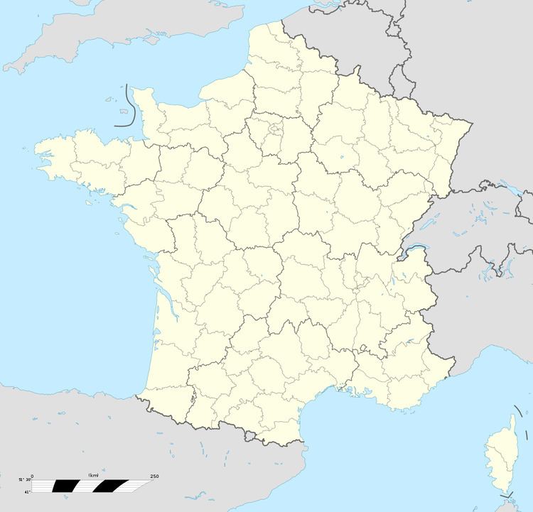
Map of Rougefay, France
Geography
Rougefay lies about 32 miles (51 km) west of Arras, at the junction of the D110 and D102 roads.
Surrounded by the communes Buire-au-Bois, Haravesnes and Boffles, Rougefay is located 30 km north-east of Abbeville's largest city nearby.
Places of interest
References
Rougefay Wikipedia(Text) CC BY-SA