Area 11.81 km² Population 210 (1999) | Intercommunality Auxillois Local time Monday 10:37 AM | |
 | ||
Weather 8°C, Wind SW at 8 km/h, 84% Humidity | ||
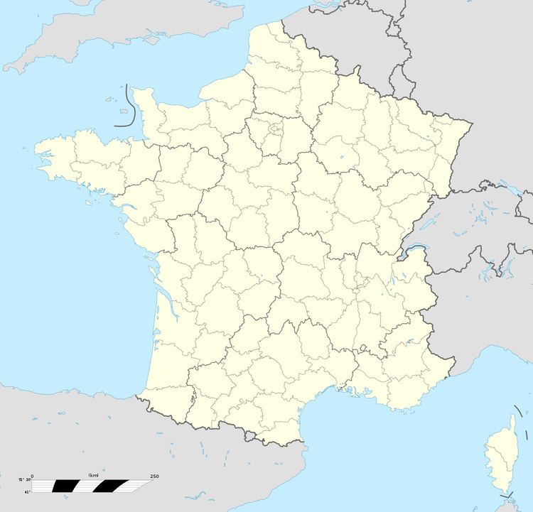
Buire-au-Bois is a commune in the Pas-de-Calais department in the Hauts-de-France region in northern France.
Contents
Map of 62390 Buire-au-Bois, France
Geography
A small farming commune located 25 miles (40 km) west of Arras on the D117 road, at the junction with the D102.
Buire-au-Bois is a typical rural community, comprising the village itself and the hamlet of Bachimont. Through various reasons, such as the lack of employment, many young people have moved out of the area. Many houses are being bought and used by English and Dutch francophiles.
Sights
References
Buire-au-Bois Wikipedia(Text) CC BY-SA
