
Country United States of America | ||
 | ||
Similar Roubidoux Spring, Old Stagecoach Stop, Frog Rock, Miller's Cave, Niangua River | ||
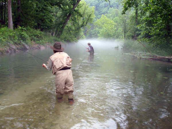
Fishing roubidoux creek aug 2016 pulaski county
Roubidoux Creek is a scenic tributary to the Gasconade River in south central Missouri named after French explorer Joseph Robidoux. It is 57.4 miles (92.4 km) long. Due to its colder water temperatures, it is listed as a trout stream. Roubidoux Spring is a landmark that is nestled three and a half miles south of the confluence of the creek and the Gasconade. The creek cuts north through Fort Leonard Wood before crossing underneath Interstate 44 and into the city limits of Waynesville.
Contents
- Fishing roubidoux creek aug 2016 pulaski county
- Map of Roubidoux Creek Cullen Township MO USA
- References
Map of Roubidoux Creek, Cullen Township, MO, USA
The former townsite of Roubidoux is located at the confluence of the east and west forks of the Roubidoux at 37°25′21″N 92°08′53″W.
The Roubidoux joins the Gasconade River just north of Waynesville, and the confluence can be seen from Missouri Route 17. The mouth of the creek is located at coordinates 37.8512°N 92.2125°W / 37.8512; -92.2125. It crosses under I-44 at 37.8175°N 92.1932°W / 37.8175; -92.1932.