Vehicle registration RW | Time zone CET (UTC+1) Population 141,073 (31 Dec 2008) Administrative region Freiburg | |
 | ||
Points of interest Wasserschloss Glatt, Erfinderzeiten, Wasser‑Bad‑Design Museum, Burg Hohenschramberg, Eisenbahnmuseum Schwarzwald Destinations | ||
Rottweil is a district (Kreis) in the middle of Baden-Württemberg, Germany. Neighboring districts are (from north clockwise) Freudenstadt, Zollernalbkreis, Tuttlingen, Schwarzwald-Baar and Ortenaukreis.
Contents
Map of Rottweil, Germany
History
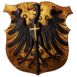
The district dates back to the Oberamt Rottweil, which was created in 1806/08 when the previously free imperial city Rottweil became part of Württemberg. In 1934 it was renamed to Landkreis (district). 1938 the two neighboring districts Sulz and Oberndorf were dissolved, and most of the district Oberndorf and a small part of Sulz was added to the district Rottweil. During World War II, a series of Nazi concentration camps, collectively known as KZ Schörzingen-Rottweil-Zepfenhan, were located in the area. In 1973 in another communal reform several municipalities from the districts Horb, Wolfach, Hechingen and Villingendorf were added.
Geography
The district covers part of the mountains of the Black Forest and the Swabian Alb.
