
Elevation 711 m | ||
 | ||
Similar Gangolfsberg, Heidelstein, Kreuzberg, Ellenbogen, Arnsberg | ||
Geography
The mountain is about 1.35 km southwest of the town of Rothenburg.
Geology
It consists primarily of a basalt plate.
Description
It is 711 meters above sea level at its peak. The northeast flank is covered by forest. Southwest of the summit is a large meadow with old beech trees, one of which is 7.8 meters in circumference. The tree, however, has suffered greatly from the recent hurricane Kyrill.
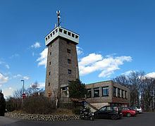
There is also a resort and club built on the summit open all year with a wide panoramic view of the area.
References
Rother Kuppe Wikipedia(Text) CC BY-SA