
Parent range Rhön (High Rhön) Prominence 110 m | State/Province DE-BY/DE-HE Elevation 926 m Mountain range Rhön Mountains | |
 | ||
Access Track from the Schornhecke car park (no private vehicles) Similar Kreuzberg, Milseburg, Himmeldunkberg, Ellenbogen, Arnsberg | ||
The Heidelstein, between Bischofsheim an der Rhön in the Bavarian county of Rhön-Grabfeld and Wüstensachsen in the Hessian county of Fulda, is a mountain, 925.7 m above sea level (NHN) high, on the state border in the mountains of the High Rhön, part of the German Central Upland range of Rhön. Its actual summit is in Bavaria. Sometimes its main peak is also called Schwabenhimmel.
Map of Heidelstein, 97656 Oberelsbach, Germany
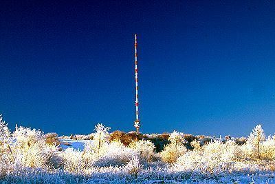
On the Heidelstein are the Heidelstein Transmitter and a memorial of the Rhön Club. On the northwestern slopes is the source of the River Ulster and on the western mountainside is the Rotes Moor Cross Country Skiing Centre.
References
Heidelstein Wikipedia(Text) CC BY-SA