
Population 364 (2006 census) Postal code 2652 | Postcode(s) 2652 Elevation 435 m Local time Thursday 10:13 AM | |
 | ||
Location 16 km (10 mi) from Carabost19 km (12 mi) from Tumbarumba Weather 20°C, Wind SE at 8 km/h, 69% Humidity | ||
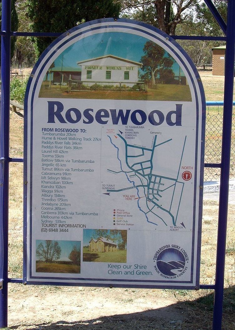
Rosewood is a village community in the south east part of the Riverina. It is situated about 16 kilometres (9.9 mi) south east from Carabost and 19 kilometres (12 mi) north west from Tumbarumba. At the 2006 census, Rosewood had a population of 364. The village is administered at the local government level by the Snowy Valleys Council.
Map of Rosewood NSW 2652, Australia
Rosewood Post Office opened on 1 August 1885.
References
Rosewood, New South Wales Wikipedia(Text) CC BY-SA