
Population 268 (2011 census) Postal code 4340 | Postcode(s) 4340 Elevation 105 m Local time Thursday 9:02 AM | |
 | ||
Rosevale Warrill ViewSilverdale Weather 24°C, Wind S at 3 km/h, 85% Humidity | ||
Rosevale is a small rural town in the Scenic Rim Region, Queensland, Australia. At the 2011 Australia Census the town recorded a population of 268.
Contents
Map of Rosevale QLD 4340, Australia
The Bremer River passes through the town.
History
The name Rosevale is a corruption of Rossvale, the name of a pastoral run pastoral used first in 1850s by William Ross.
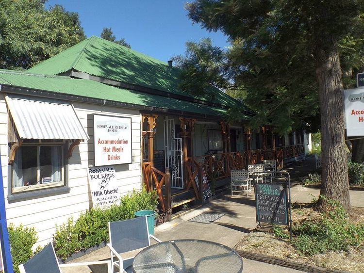
The Historic Rosevale Retreat Hotel, built in 1852 as a homestead, is the state's oldest hotel building. A victualler's licence was granted in 1887 to a Matthew Carmody.
Rosevale has previously belonged to the Shire of Mutdapilly, Shire of Moreton and the Shire of Boonah local government areas.
Heritage listings
Rosevale has a number of heritage-listed sites, including:
References
Rosevale, Queensland Wikipedia(Text) CC BY-SA