
Population 505 (2011 census) Postal code 4309 | Postcode(s) 4309 Local time Tuesday 3:28 PM | |
 | ||
Weather 29°C, Wind E at 18 km/h, 53% Humidity | ||
Aratula qld the gorge easter 2014 fpv
Aratula is a small town and locality in Scenic Rim Region, Queensland, Australia. At the 2011 census, Aratula had a population of 505.
Contents
- Aratula qld the gorge easter 2014 fpv
- Map of Aratula QLD 4309 Australia
- Geography
- History
- Heritage listings
- Attractions
- Amenities
- Churches
- References
Map of Aratula QLD 4309, Australia
Geography
Aratula is approximately 60 kilometres (40 mi) southwest of Ipswich, just east of Cunninghams Gap. Warrill Creek passes very close to the town.
History
The area was originally known as Carter's Gate, but the name was changed to reflect the railway station name of Aratula.
Carter's Gate Provisional School opened on 29 May 1911. It became a State School on 9 January 1913. The name was changed in August 1913 to Aratula State School.
Aratula Post Office opened around 1925 (a receiving office had been open since 1912) and closed in 1987.
Heritage listings
Aratula has the following heritage sites:
Attractions
Local attractions include nearby Moogerah Peaks National Park, Main Range National Park, Lake Moogerah and ballooning.
Amenities
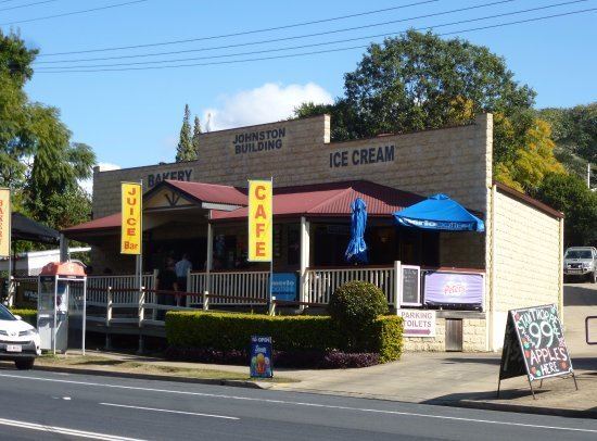
Aratula is a common rest-stop for travellers coming eastward across the Great Dividing Range. There is a caravan park and a hotel just off the highway.
Churches
St Pauls Lutheran Church opened in 1913 and closed in 1997, but the church building still stands at 57 Elizabeth Street (27.9807°S 152.5427°E / -27.9807; 152.5427 (St Pauls Lutheran Church, Aratula)). There is a Lutheran cemetery behind the church; the first burial was Hermann Gustav Muller in March 1916.
St Stephens Anglican Church opened in 1954 and is at 25 Elizabeth Street (27.9813°S 152.5462°E / -27.9813; 152.5462 (St Stephens Anglican Church, Aratula)).