
District Kirchdorf an der Krems Vehicle registration KI Elevation 700 m Population 746 (1 Apr 2009) Postal code 4581 | Time zone CET (UTC+1) Website www.rosenau.ooe.gv.at Area 108.3 km² Local time Wednesday 11:01 PM Area code 07566 | |
 | ||
Weather 7°C, Wind S at 5 km/h, 86% Humidity | ||
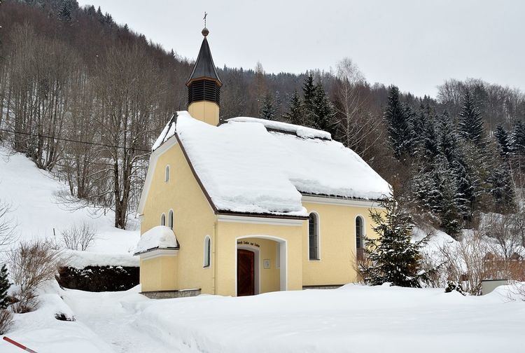
Rosenau am Hengstpaß is a municipality in the district of Kirchdorf an der Krems in the Austrian state of Upper Austria.
Contents
Map of 4581 Rosenau am Hengstpa%C3%9F, Austria
Geography
Rosenau lies in the Traunviertel. About 70 percent of the municipality is forest, and 13 percent is farmland.
References
Rosenau am Hengstpaß Wikipedia(Text) CC BY-SA