
Established 1849 Postal code 5350 | Postcode(s) 5350 Mean max temp Mean min temp Federal division Division of Wakefield | |
 | ||
Location 14 km (9 mi) NE of Gawler10 km (6 mi) NW of Lyndoch15 km (9 mi) SW of Tanunda56 km (35 mi) NNE of Adelaide LGA(s) Light regional councilBarossa Council | ||
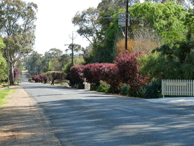
Rosedale is a small town in the south western Barossa Valley in South Australia. Prior to renaming placenames of enemy origin in 1918, Rosedale was named Rosenthal.
Map of Rosedale SA 5350, Australia
The locality of Rosedale spans the North Para River which is the boundary between two local government areas. North of the river is in the Light Regional Council. South of it is in the Barossa Council. The Turretfield Research Centre is on the north bank of the river just outside the township.
References
Rosedale, South Australia Wikipedia(Text) CC BY-SA