
Length 75 km Source elevation 540 m | Basin size 710 km (270 sq mi) Basin area 710 km² Source Barossa Ranges Country Australia | |
 | ||
Main source near Eden Valley540 m (1,770 ft) Tributaries Left:Angaston Creek, Jacobs Creek, Lyndoch CreekRight:Greenock Creek, Walkers Creek | ||
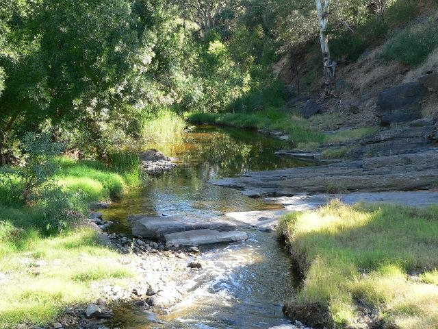
The North Para River originates in the Barossa Ranges near Eden Valley and follows a meandering path through the Barossa Valley, firstly north to the east of Angaston, then arcs around to the southwest to pass through the towns of Nuriootpa and Tanunda, before merging with the South Para River in Gawler forming the Gawler River.
Contents
Map of North Para River, South Australia, Australia
The North Para River catchment is one of the key watersheds in the northern Mount Lofty Ranges. It plays a very important role in the economy of South Australia, providing much of the water used by viticulture in the Barossa Valley. Its waters are also used for livestock production, cereal cropping and recreation.
Tributaries
References
North Para River Wikipedia(Text) CC BY-SA