
Country United States ZIP codes 26636 Elevation 237 m | Time zone Eastern (EST) (UTC-5) GNIS feature ID 1546077 Local time Wednesday 5:08 PM | |
 | ||
Weather 7°C, Wind N at 13 km/h, 29% Humidity | ||
Rosedale is an unincorporated community in Braxton and Gilmer counties in the U.S. state of West Virginia. It lies along the Right Fork Steer Creek, at an elevation of 778 feet (237 m).
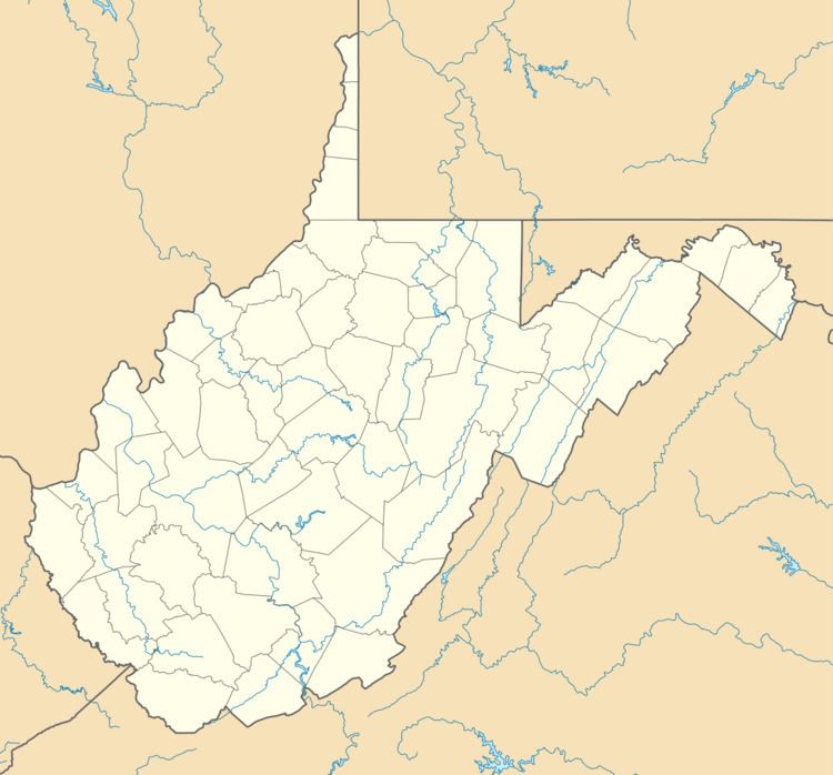
Map of Rosedale, WV 26636, USA
The community was named after wild rose bushes near the original town site.
References
Rosedale, West Virginia Wikipedia(Text) CC BY-SA