
Country United States County Warrick Time zone Central (CST) (UTC-6) Elevation 122 m | State Indiana ZIP code 47613 | |
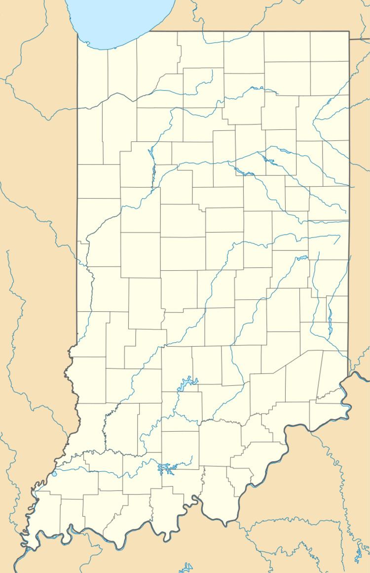 | ||
Rosebud is an unincorporated community in Greer Township, Warrick County, in the U.S. state of Indiana.
Geography
Rosebud is located at 38°11′39″N 87°24′37″W.
References
Rosebud, Warrick County, Indiana Wikipedia(Text) CC BY-SA