
Established 1878 State electorate(s) Bragg Founded 1878 | Postcode(s) 5067 Postal code 5067 | |
 | ||
Population 1,293 (2006 census)1,164 (2001 census) | ||
Rose Park is a suburb with a population of 1,293 in the South Australian capital city of Adelaide. It is located one kilometre east of Adelaide's central business district (CBD). Rose Park is a leafy, tree-lined and wealthy inner suburb containing a number of historical and contemporary attractions. Much of the area's 19th Century housing stock has been recognised with heritage protection.
Contents
Map of Rose Park SA 5067, Australia
Part of the Burnside Council, it is bounded to the north by Kensington Road, to the east by Prescott Terrace, to the south by Dulwich Avenue and to the west by Fullarton Road. The area is mainly residential in nature, with commercial buildings along Fullarton Road, Kensington Road, and Dulwich Avenue. This places it on the very edge of the Adelaide Park Lands, bordering Victoria Park.
In the second quarter of 2010, the median price of the four property sales in Rose Park was $1,500,000.
History
Laid out in 1878 on part section 262, Hundred of Adelaide by the South Australia Company. Named after Sir John Rose, chairman of the company for fourteen years in the latter half of the nineteenth century.
A Rose Park Post Office opened on 1 October 1946 but was renamed Norwood South in 1966.
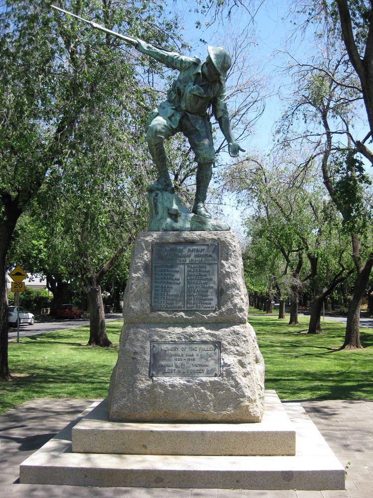
Attractions
Residents
According to the 2001 Census the population of the Rose Park census area (which included adjoining Dulwich) was 2,663 people, with a very slight decrease in population between the 1996 and 2001 censuses. 52.4% of the population was female, 79.4% were Australian born and 92.5% of residents were Australian citizens.
In the 2006 census, the population of the Rose Park (without Dulwich) was 1,293 people.
Transport
Like most areas across Australia in 2001, private motor vehicles were the main form of transport used by Rose Park residents, with only about 7% using public transport.
Education
Rose Park Primary School is located in Rose Park.
The Adelaide Japanese Community School, Inc. (ACJS; アデレード日本語補習授業校 Aderēdo Nihongo Hoshū Jugyō Kō), a part-time Japanese educational programme, holds its classes in Rose Park Primary School.
Politics
Rose Park is part of the state electoral district of Bragg, which has been held since 2002 by Liberal MP Vickie Chapman. In federal politics, the suburb is part of the division of Adelaide, and has been represented by Labor MP Kate Ellis since 2004.