Airport type Public Elevation AMSL 4,809 ft / 1,466 m 4,800 1,463 Address Wellington, NV 89444, USA Phone +1 775-861-6400 | 7/25 4,800 1,463 Asphalt Elevation 1,466 m Owner Bureau of Land Management | |
 | ||
Similar Walker River ‑ East Fork, Walker River Resort, Desert Creek, Yerington Airport, Smith Valley School | ||
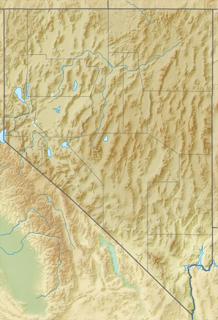
Rosaschi Air Park (FAA LID: N59) is a public use airport owned by the U.S. Bureau of Land Management and located two nautical miles (4 km) north of the central business district of Smith, in Lyon County, Nevada, United States.
Facilities and aircraft
Rosaschi Air Park covers an area of 482 acres (195 ha) at an elevation of 4,809 feet (1,466 m) above mean sea level. It has two runways: 7/25 is 4,800 by 32 feet (1,463 x 10 m) with an asphalt surface and 17/35 is 3,700 by 64 feet (1,128 x 20 m) with a dirt surface.
For the 12-month period ending June 30, 2009, the airport had 5,840 aircraft operations, an average of 16 per day: 99.7% general aviation and 0.3% military. At that time 10 aircraft were based here: 70% single-engine, 20% ultralight, and 10% multi-engine.
References
Rosaschi Air Park Wikipedia(Text) CC BY-SA
