
Country Mexico Municipal seat Rosarito Time zone PST (UTC−8) Area 513.3 km² Capital Rosarito Beach | State Baja California Municipality established June 29, 1995 INEGI code 005 Population 90,668 (2010) Largest city Rosarito Beach | |
 | ||
Points of interest Baja Sand, Los Arenales, Casino Rosarito Renes, Adventure Sports, Casa Vargas | ||
Playas de Rosarito Municipality (Spanish: Municipio de Playas de Rosarito) is located in the northwestern part of the Mexican state of Baja California comprising part of the Tijuana metropolitan area. It lies just south of the city of Tijuana. Its municipal seat is the city of Rosarito. According to the 2010 census, the municipality had a population of 90,668 inhabitants. Its area is 513.32 km² (198.19 sq mi).
Contents
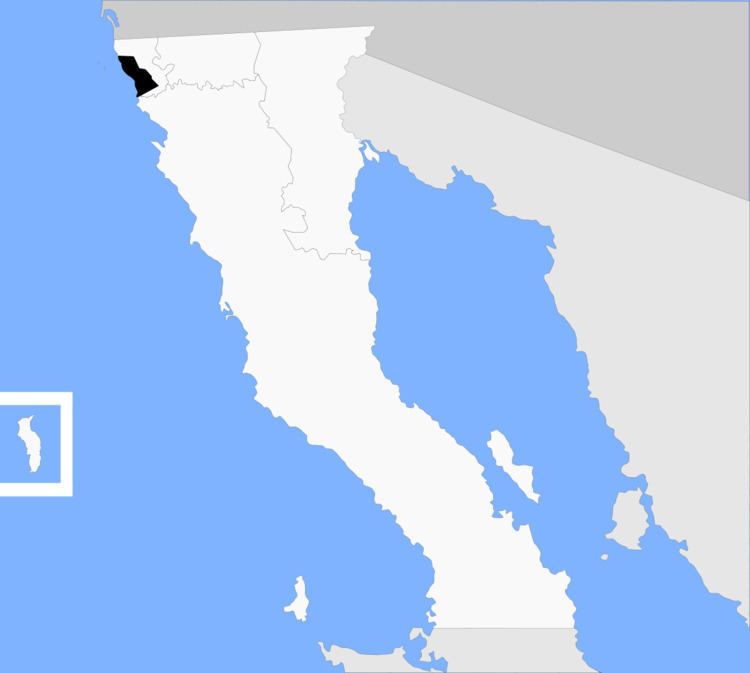
- Map of Playas de Rosarito Municipality Baja California Mexico
- Name
- Boroughs
- Demographics
- Other localities
- References
Map of Playas de Rosarito Municipality, Baja California, Mexico
Name
Playas de Rosarito means "beaches of Rosarito".
Boroughs
Demographics
As of 2010, the municipality had a total population of 90,668.
As of 2010, the city of Playas de Rosarito had a population of 65,278. Other than the city of Playas de Rosarito, the municipality had 358 localities, the largest of which (with 2010 populations in parentheses) were: Ampliación Ejido Plan Libertador (5,906), Primo Tapia (4,921), classified as urban, and Ciudad Morelos (2,040), Colinas del Sol (1,361), and Santa Anita (1,284), classified as rural.