
 | ||
Harmony to hutton
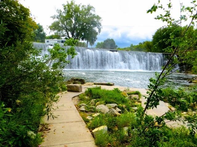
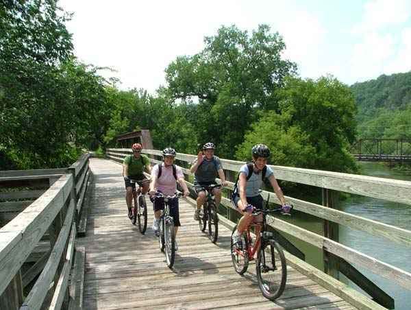
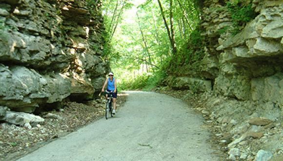
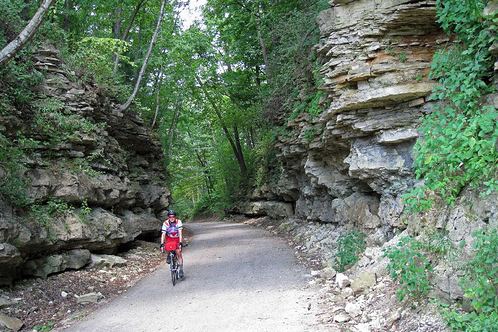
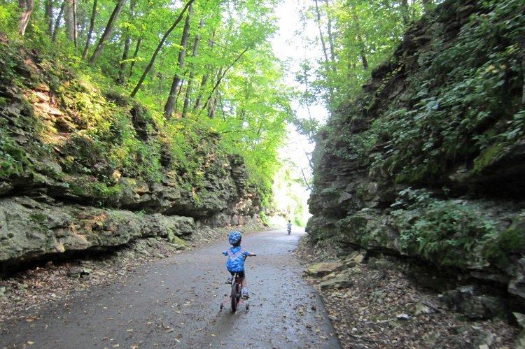
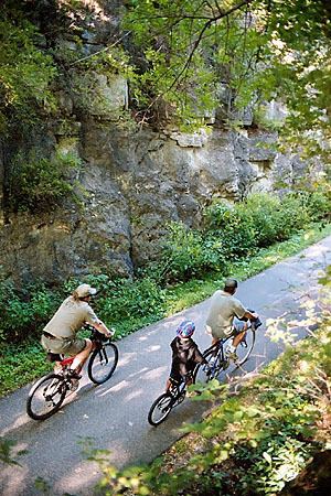
Root River State Trail is a 60-mile (97 km) paved multi-use rail trail system in southeast Minnesota. The trail system consists of two main segments, the Root River segment, and Harmony-Preston Valley segment. The trails are used mainly for bicycling, hiking, and inline skating in the summer, and for cross country skiing in the winter. Much of the trail, especially the Root River segment, is built along a former Milwaukee Road (Chicago, Milwaukee, St. Paul and Pacific Railroad) railbed following the contours of the Root River valley.
Contents
The degrading quality of the trail's pavement has generated concern from both trail users and local business owners. The trail was originally paved in the 1980s, and asphalt trails are typically expected to last 15 to 20 years. As of 2008, some sections of the trail still feature the original 23-year-old asphalt. In August 2007, some parts of the trail were washed out by torrential rain. The damaged areas were temporarily repaired with gravel fill, and were repaved by June 2008.
Root River segment
42.3 miles (68.1 km) in length, the trail runs predominantly east/west, following the meanders of the Root River for much of the distance. Because most of this trail segment was constructed on an abandoned rail grade, most of the inclines and curves are quite gradual.
The trail intersects six towns along the way:
Harmony-Preston Valley segment
17.8 miles (28.6 km) miles in length, the trail runs predominantly north/south. The trail follows the Root River only from the junction to Preston. South of Preston, the trail is no longer built on a former rail grade, causing the inclines to be steeper in areas. Nearing Harmony, the trail begins to form sharp right angles as it cuts between existing farm fields and properties.
This segment of the trail intersects two towns: