
Country United States County Montgomery FIPS code 36-63561 Elevation 263 m Population 1,715 (2010) Area code 518 | State New York Time zone Eastern (EST) (UTC-5) GNIS feature ID 0979432 Zip code 12166 Local time Wednesday 10:57 AM | |
 | ||
Weather -9°C, Wind NW at 37 km/h, 47% Humidity Area 132.1 km² (131.6 km² Land / 52 ha Water) | ||
Root is a town in Montgomery County, New York, United States. The population was 1,715 at the 2010 census. The town was named for Erastus Root, a legislator.
Contents
- Map of Root NY USA
- History
- Geography
- Demographics
- Government
- Town of Root Supervisors
- Communities and locations in Root
- Notable people
- References
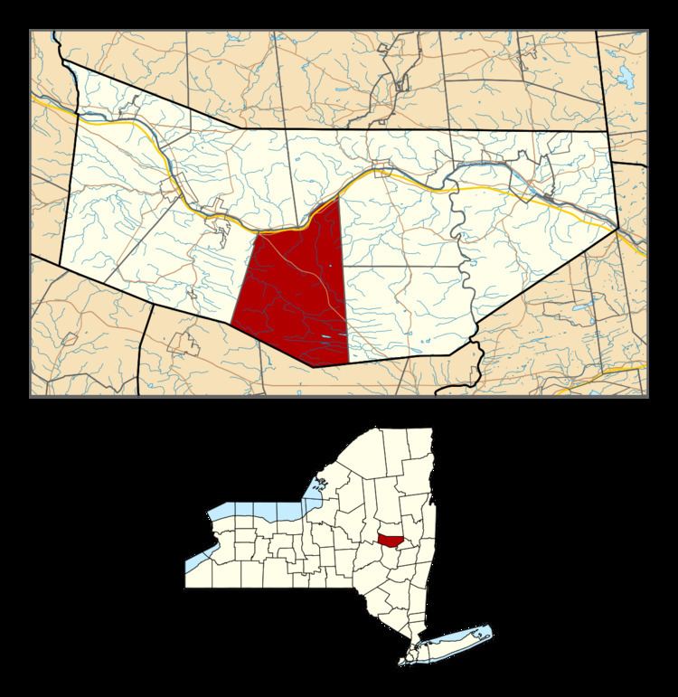
Map of Root, NY, USA
The Town of Root is in the south-central part of the county and is southwest of Amsterdam.
The Erie Canal passes the north part of Root.
History
Root was in Corry's patent. The first British settler located near Currytown before the American Revolution but this was very much the frontier. During the Revolution, the small colonial community was raided and burned by Iroquois allies of the British.
Root was once part of the original "Town of Mohawk." It was created in 1823 from part of the Town of Charleston.
Geography
According to the United States Census Bureau, the town has a total area of 51.0 square miles (132 km2), of which, 50.8 square miles (132 km2) of it is land and 0.2 square miles (0.52 km2) of it (0.41%) is water.
The north town line is defined by the Mohawk River, and the south town line is the border of Schoharie County.
The New York State Thruway crosses the north part of the town, following the course of the Mohawk River. New York State Route 5S also follows the course of the Mohawk and intersects New York State Route 162 at Sprakers in the northwest part of Root.
Demographics
As of the census of 2000, there were 1,752 people, 656 households, and 492 families residing in the town. The population density was 34.5 people per square mile (13.3/km²). There were 755 housing units at an average density of 14.9 per square mile (5.7/km²). The racial makeup of the town was 98.06% White, 0.40% African American, 0.29% Native American, 0.34% Asian, 0.23% from other races, and 0.68% from two or more races. Hispanic or Latino of any race were 1.14% of the population.
There were 656 households out of which 33.4% had children under the age of 18 living with them, 62.0% were married couples living together, 7.9% had a female householder with no husband present, and 25.0% were non-families. 19.7% of all households were made up of individuals and 10.1% had someone living alone who was 65 years of age or older. The average household size was 2.67 and the average family size was 3.08.
In the town, the population was spread out with 26.7% under the age of 18, 5.5% from 18 to 24, 27.9% from 25 to 44, 26.3% from 45 to 64, and 13.6% who were 65 years of age or older. The median age was 40 years. For every 100 females there were 100.9 males. For every 100 females age 18 and over, there were 100.9 males.
The median income for a household in the town was $38,060, and the median income for a family was $41,927. Males had a median income of $28,073 versus $22,656 for females. The per capita income for the town was $16,206. About 8.4% of families and 11.8% of the population were below the poverty line, including 17.3% of those under age 18 and 9.1% of those age 65 or over.
Government
The Town of Root is a town of the Second Class under New York State law, with a Town Board of four members plus a Town Supervisor, who is a voting member of the Board.
Town of Root Supervisors
Gary A. Kamp (2014 - Present)
John W. Thayer (2008–2013)
Brian S. Cechnicki (2004–2007)
John Van Kersen (1992–2003)
John W. Cechnicki (1982–1991)