
Constructed 1926 | Length 25.27 km | |
 | ||
Majorjunctions PA 611 (Broad Street) in North Philadelphia US 13 (Roosevelt Boulevard) in North Philadelphia PA 232 (Oxford Avenue) / Cheltenham Avenue in Northeast Philadelphia US 13 (Robbins Street/Levick Street) in Northeast Philadelphia PA 73 (Cottman Avenue) in Northeast Philadelphia PA 63 (Red Lion Road/Woodhaven Road) in Northeast Philadelphia North end US 1 (Lincoln Highway) in Trevose | ||
Roosevelt Boulevard, officially named the Theodore Roosevelt Memorial Boulevard and often referred to, chiefly by Philadelphian locals, simply as "the Boulevard," is a major traffic artery through North and Northeast Philadelphia. The road begins at the Schuylkill Expressway in Fairmount Park, running as a freeway also known as the Roosevelt Boulevard Extension or the Roosevelt Expressway through North Philadelphia, then transitioning into a twelve-lane divided highway that forms the spine of Northeast Philadelphia to its end at the city line.
Contents
- Map of Roosevelt Blvd Philadelphia PA USA
- Roosevelt Expressway
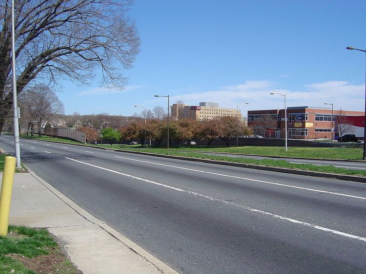
- Roosevelt Boulevard
- History
- Major intersections
- References
Map of Roosevelt Blvd, Philadelphia, PA, USA
Historically, Roosevelt Boulevard is a part of the Lincoln Highway, the first road across America, which ran for 3,389 miles (5,454 km) from Times Square in New York City to Lincoln Park on the Pacific Ocean in San Francisco, California.
Today, Roosevelt Boulevard is designated as US 1 (north of the Roosevelt Expressway), US 13 (between Hunting Park Avenue and Robbins Street), and Pennsylvania Route 63 (between Red Lion and Woodhaven Roads).
The road is notorious for two intersections which have been designated the second and third most dangerous intersections in the country by State Farm Insurance, at Red Lion Road and Grant Avenue respectively. The dangerous reputation of the road led to installation of the first red light cameras in Philadelphia in 2004. The road has been the scene of numerous pedestrian casualties and studies are underway to allow pedestrian traffic to be separated from vehicular traffic.
Roosevelt Expressway
The Roosevelt Boulevard Extension, also known as the Roosevelt Expressway, begins at the Schuylkill Expressway in Fairmount Park adjacent to the Philadelphia city line, as an expressway also known as the Roosevelt Boulevard Expressway U.S. Route 1. It crosses the Schuylkill River via the Twin Bridges and runs eastward through the neighborhoods of East Falls and Hunting Park. The Roosevelt Expressway interchanges with Broad Street (Pennsylvania Route 611) and ends at an interchange with US 13 (Roosevelt Boulevard), at which point US 1 merges onto the Roosevelt Boulevard and continues northeast along with US 13.
Roosevelt Boulevard
The Roosevelt Boulevard begins at an intersection with Hunting Park Avenue, continuing northeast as a part of US 13. The road crosses Broad Street (PA 611) before US 1 (Roosevelt Expressway) merges in at an interchange and Roosevelt Boulevard becomes a 12-lane surface arterial with local and express lanes and at-grade intersections, carrying US 1 and US 13.
The road continues east through Hunting Park and Feltonville, where it curves and starts running in a northeasterly direction. It meets Oxford Avenue (Pennsylvania Route 232) at a large traffic circle known as Oxford Circle (the express lanes pass through the circle via an underpass). The road carries northbound U.S. Route 13 one more mile until it splits off onto Robbins Street and Levick Street (both one-way streets). The road continues to a large interchange with Cottman Avenue (Pennsylvania Route 73) and the Roosevelt Mall and a traffic circle with Holme Avenue known as the Pennypack Circle. It continues past Pennypack Park and Northeast Philadelphia Airport, passing through two notoriously dangerous intersections with Grant Avenue and Red Lion Road.
The road continues northeast, interchanging with Woodhaven Road (Pennsylvania Route 63), then narrowing as it approaches its end at an intersection on the Philadelphia-Bucks County border. After 2 traffic light intersections in Trevose in Bensalem Township, U.S. 1 continues as a freeway to the north.
History
Proposed in 1903 by Mayor Samuel H. Ashbridge as part of the City Beautiful movement, the 300-foot-wide thoroughfare originally extended from Broad Street to the Torresdale neighborhood, and was first named Torresdale Boulevard, then Northeast Boulevard in 1914 when the road was completed. On its extension to Pennypack Creek in 1918, it was finally renamed to Roosevelt Boulevard, in honor of Theodore Roosevelt. The road was designated U.S. 1 in 1926, and was extended through Philadelphia to neighboring Bucks County in the post-World War II years.
The Roosevelt Expressway was built to connect the boulevard with the nearby Schuylkill Expressway (I-76).
In 1998 a series of gang-related criminal rock throwing attacks on cars driving near Ridge Avenue, Henry Avenue and Fox Street "terrorized" Philadelphia drivers.
In 2000, by act of the state legislature, the Boulevard was designated the "Police Officer Daniel Faulkner Memorial Highway" in memory of Daniel Faulkner, a Philadelphia police officer whom Wesley Cook, aka Mumia Abu-Jamal, was convicted of having slain in the line of duty in 1981. The designation is alongside the roadway's official name of Roosevelt Boulevard.
There have been several plans to change the boulevard into an expressway-like artery, like the Roosevelt Expressway itself, and construct a subway underneath the boulevard, but no such plans have been acted upon.
Today, Roosevelt Boulevard is among the most congested arteries in the country. According to a 2001 report by State Farm Insurance, the second- and third-worst intersections in the country are both found on the Boulevard, at Red Lion Road and Grant Avenue, respectively, only a mile apart from each other. Red-light enforcement cameras have been installed at these intersections, as well as Cottman Avenue, and have been operational since June 1, 2005. New cameras installed at the intersections with 9th Street, Mascher Street, Levick Street, Rhawn Street, Welsh Road, and Southampton Road became operational in summer 2007. Additional plans include adding cameras at Devereaux Avenue and Tyson Avenue.
Major intersections
Mileage is the distance along U.S. Route 1 from the Maryland border.
Roosevelt Expressway
The entire route is in Philadelphia, Philadelphia County.
Roosevelt Boulevard
The entire route is in Philadelphia, Philadelphia County.